What is recorded here
Situated in deciduous woodland in a flat landscape. The OS Name Books record the remains of houses (WA030-044001-) occupied by a family called Mullowney in the 18th century, as well as burials which were found in an adjacent field during the construction of a field boundary. The precise location is not known, but othing is visible at ground level.
Date of upload/revision: 11th August, 2011. Compiled by: Michael Moore.
The monument record does not grant public access. Check the route and ask the landowner before entering private land.
- What survives
- Recorded monument
Places near here
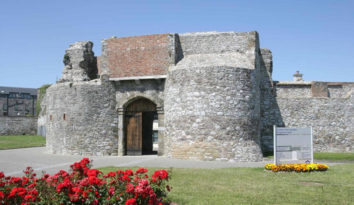 Site of Mullowneys VillageSettlement deserted, medieval · 1 yd
 Man-made underground passage in MountodellMan-made underground passage · 406 yd
 Bon Sauveur Conventhouse · 563 yd
 Mount Odell Housefarm house · 591 yd
 IndicatedBawn · 1697 yd
 Master McGrathMemorial · 1.8 mi
 Kilgreany CaveCave · 1.9 mi
 Castle (in ruins)Castle, unclassified · 2.5 mi
 Grattan SquareVisitor information · 3.5 mi
 Waterford County MuseumMuseum · 3.5 mi
 Dungarvan World War I MemorialMemorial · 3.7 mi
 Dungarvan CastleCastle · 3.7 mi