What is recorded here
Eleven unmarked graves lie shallow beneath the soil at Anneville or Clonard Old, possibly holding victims of the Famine. They rest east-west just inches below the surface, waiting for identification rather than excavation. A hidden stone structure looms five metres north, perhaps the lost priory of SS Peter and John or St Mary’s convent. The dead and the building remain entangled in mystery, refusing easy resolution.
Eleven burials were uncovered in excavation (E000154) during 1976 by P. D. Sweetman but not removed (exccavations.ie 1976:055). They were just beneath the surface and oriented E-W, and it was thought that they might date from the Famine period (Sweetman 1978, 15). However, a remote sensing survey (Gibson 2011, 77) identified a palaeo-channel running WNW-ESE between this location and the W boundary of the graveyard (ME047-007001-) c. 160m to the E, as well as four areas of high electrical resistivity, suggesting the presence of stone structures. One stone structure (dims c. 15m E-W; c. 7m N-S) is located c. 5m N of these burials, and could prove to be the site of the Augustinian priory of SS Peter and John (ME047-022----) or that of St Mary’s convent (ME047-021----), which are otherwise unlocated.
Compiled by: Michael Moore
Date of upload: 21 May 2015
The monument record does not grant public access. Check the route and ask the landowner before entering private land.
- What survives
- Recorded monument
Places near here
 Field system in Anneville or Clonard OldField system · 101 yd
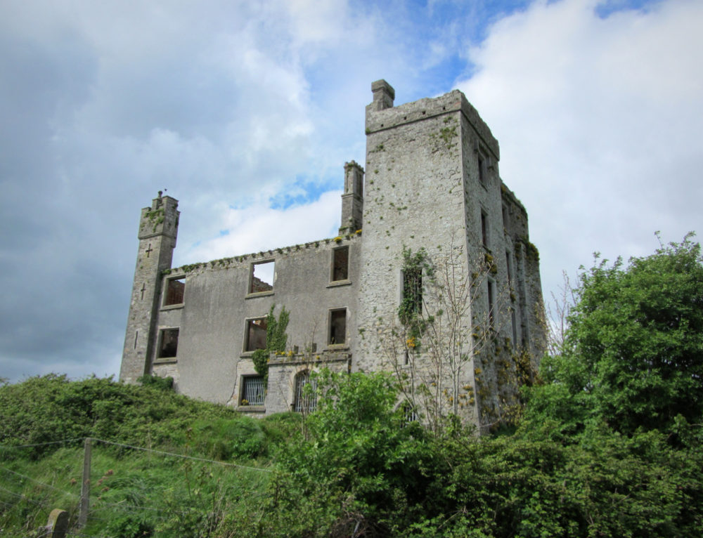 CastleCastle, ringwork · 223 yd
 Site of AbbeyChurch · 232 yd
 Saint Finian's Church (Clonard)church/chapel · 232 yd
 post boxpost box · 239 yd
 Croppies' GraveMemorial · 1631 yd
 Abandoned Kinnegad CanalWood · 1.1 mi
 Queen Marys CastleCastle, tower house · 1.8 mi
 Rahin WoodsForest · 3.6 mi
 The Grill ShackHeritage attraction · 11 mi
 Conolly's FollyHeritage attraction · 19 mi
 John McLaughlinMemorial · 21 mi