What is recorded here
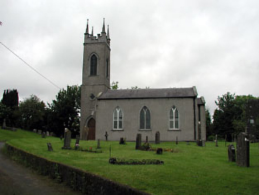
Located on a rise on a broad, low hill, with wide view out E-S over what would have been the lake of Lagore. The site of the early monastery and the parish church of Trevet (ME038-017----) are within a raised but neglected subrectangular graveyard (dims c. 62m E-W; c. 43m N-S) defined by masonry walls with very few headstones that appear to be 19th century in date. According to the Dopping visitation (1682-5) it was not enclosed in the late 17th century (Ellison 1971, 38).
Compiled by: Michael Moore
Date of upload: 18 March, 2015
A Neolithic or early Bronze Age burial ground; its location suggests ritual or strategic significance, possibly linked to the nearby early monastery and natural landscape features.
The monument record does not grant public access. Check the route and ask the landowner before entering private land.
- What survives
- Recorded monument
Places near here
 Enclosure in TrevetEnclosure · 80 yd
 Enclosure in GarretstownEnclosure · 1279 yd
 mill (water)mill (water) · 1.8 mi
 Saint Seachnall's Church (Dunshaughlin)church/chapel · 1.9 mi
 Killeen CastleCastle, tower house · 2.3 mi
 Clusker Wood SouthWood · 2.4 mi
 The Pond WoodWood · 2.4 mi
 CastleCastle, motte · 2.9 mi
 Candle HillMountain / peak · 3.2 mi
 Emerald ParkHeritage attraction · 3.3 mi
 Battle of Tara Hillbattle · 3.9 mi
 Battle of Tara (Ireland)Major battlefield · 3.9 mi