What is recorded here
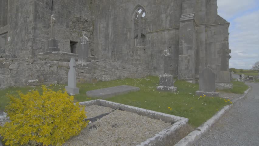
Adjoining the S side of Quin Abbey (CL042-027002-) and bounded at W by the River Rine. Not listed in the SMR (1992) or the RMP (1996). A roughly rectangular graveyard (c. 64m E-W; c. 32m N-S) defined at S by a roughly coursed wall (H 0.88m; Wth 0.45m) with uprights cemented on top curving from W to E along the line of the castle moat (CL042-027001-) and at N by a short straight stretch of wall at NW adjoining the possible 17th-century guesthouse (CL042-027021-). A small gateway into the graveyard at S has some reused cut stone. Burials date mainly to the 19th and 20th centuries and the graveyard is still in use. Monitoring of groundworks undertaken in 2000 in advance of floodlighting the Abbey (Licence no. 00E0954) revealed disturbed human bone 1-2m outside the graveyard wall at S. (https://excavations.ie/report/2000/Clare/0004922/; accessed October 30, 2018).
Compiled by: Mary Tunney
Date of upload: 31 October 2018
The monument record does not grant public access. Check the route and ask the landowner before entering private land.
- What survives
- Recorded monument
Places near here
 Quin Abbey ( in ruins)Religious house, Franciscan friars · 26 yd
 Quin AbbeyHeritage attraction · 36 yd
 Wall monument in QuinWall monument · 37 yd
 IndicatedEcclesiastical enclosure · 117 yd
 ToberinneenboyHoly well · 160 yd
 Danganbrack Castle (in Ruins)Castle, tower house · 967 yd
 Ballymarkahan CastleCastle · 1.5 mi
 Mooghaun HillfortArchaeological place · 2.5 mi
 Mooghaun WoodsWood · 2.7 mi
 Cloghleagh RockNamed rock · 3.1 mi
 HawthornHawthorn · 3.2 mi
 G.A.A. Commemorative StoneMemorial · 4.3 mi