What is recorded here
One chamber is already complete. Wait for the facts, show the names, and provide the source being used. That is all the chamber needs.
Shown on 1842 and 1904 OS 6-inch maps as square area in which is marked 'Abbey (Site of)'; shown on 1938 OS 6-inch map, square enclosure marked 'Burial Ground (private)' and 'Abbey (site of)' (CO072-044002-). Bullaun stone (CO072-044003-) within enclosure; holy well (CO072-045----) to NE. On N bank of River Lee; submerged in 1956 by flooding as part of the Lee Valley Hydro-electric Scheme. Excavations by Fahy (1957b, 65-71) revealed roughly rectangular stone-revetted earthen bank, enclosing and partially overlying wall-lines of 17th century stone structure, known to be in ruins by 1716. Burial area in SE corner, defined by 'a group of graves marked by uncut headstones and one modern, dressed headstone' (ibid., 65), overlay foundations of stone structure. Traditionally associated of site with St Senan (O Buachalla et al. 1958, 32).
The above description is derived from the published 'Archaeological Inventory of County Cork. Volume 3: Mid Cork' (Dublin: Stationery Office, 1997). In certain instances the entries have been revised and updated in the light of recent research.
Date of upload/revision: 14 January 2009
The monument record does not grant public access. Check the route and ask the landowner before entering private land.
- What survives
- Recorded monument
Places near here
 Abbey (Site of)Ecclesiastical site · 1 yd
 Corn Mill (Disused)Mill, corn · 830 yd
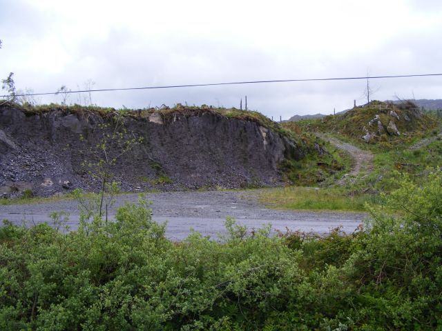 Quarry in CronodyQuarry · 962 yd
 Bob AdamsMemorial · 1091 yd
 Marys Well, Sundays WellHoly well · 1364 yd
 Castle Inch (in Ruins)Castle, tower house · 1.1 mi
 Iniscarra Dam ViewViewpoint · 1.7 mi
 Ballyanly Inniscarra Slí na SláinteWalking route · 1.9 mi
 Coachford Greenway (End)Visitor information · 2.0 mi
 Farran WoodWood · 2.3 mi
 Graveyard in Carrigane (muskerry East By.)Graveyard · 2.8 mi
 Carrignamuck Tower HouseCastle · 2.8 mi