What is recorded here
In grass-covered dunes on SW side of the island. Kinown locally as Cnocán na hUlta (pers. comm. T. Robinson), it is indicated on 1st and 2nd eds of OS 6-inch map as a rectangular graveyard (60m by 38m). Both modern and stone-lined graves are visible in the interior. A modern extension has been added at S and SW. (Robinson 1985, 26)
The above description is derived from the published 'Archaeological Inventory of County Galway Vol. I - West Galway'. Compiled by Paul Gosling (Dublin: Stationery Office, 1993).
Date of upload: 05 August 2010
The monument record does not grant public access. Check the route and ask the landowner before entering private land.
- What survives
- Recorded monument
Places near here
 Well of the Seven DaughtersHoly well · 436 yd
 Holy well in MaínisHoly well · 1363 yd
 Oileán na CaraIslet · 1394 yd
 Roisín an ChalaidhIslet · 1648 yd
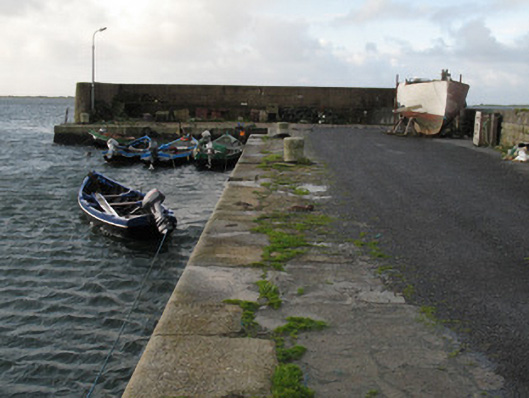 Cé Charna [Carna Quay]quay/wharf · 1.1 mi
 Cé an Aird Thiar [Ard West Quay]pier/jetty · 1.5 mi
 Ard Castle (in ruins)Castle, tower house · 1.6 mi
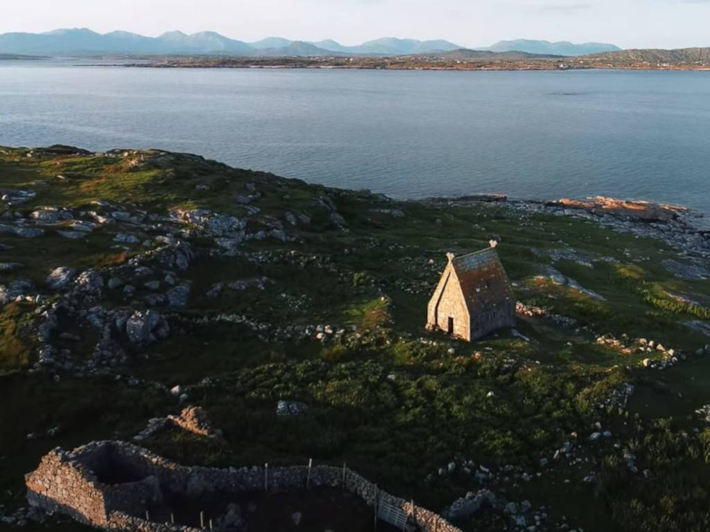 St. MacDara's Island Early Medieval Ecclesiastical SiteHeritage attraction · 2.8 mi
 Ceann MhásaHeadland · 3.0 mi
 Cora na hAirde MóireHeadland · 3.1 mi
 Trá MhaíroisBeach / strand · 3.2 mi
 Knockboy ForestryForest · 3.6 mi