What is recorded here
Atop low rise, c. 150m NW of river Deel; on S side of road. Roughly square graveyard (L c. 70m) with ruin of medieval parish church (LI036-172001-) of Mahoonagh just S-of-centre. Enclosed by stone wall, except to S where there is a steep drop to marshy area. West side lower and divided from rest by sharp break in slope. Still in use and maintained; earliest headstone noted dated 1775. Single mausoleum against N wall of church.
Compiled by: Denis Power
Date of upload: 26 August 2011
See attached ASI aerial photograph ASIAP – 325/9, 11, 12, 13 on 05/10/2002.
The monument record does not grant public access. Check the route and ask the landowner before entering private land.
- What survives
- Recorded monument
Places near here
 Mahoonagh Church (in ruins)Church · 17 yd
 Castle MahonCastle · 192 yd
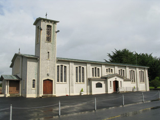 Catholic Church of Saint John the Baptistchurch/chapel · 289 yd
 Enclosure in Mahoonagh BegEnclosure · 606 yd
 BarrowBarrow, ring-barrow · 1.3 mi
 Ballynoe Castle (in ruins)Castle, tower house · 2.2 mi
 Garbally WellSpring · 3.0 mi
 Sunday WellSpring · 3.8 mi
 European ashEuropean ash · 4.4 mi
 Ballagh MountainMountain / peak · 5.4 mi
 Limerick GreenwayWalking route · 6.3 mi
 Sugar HillMountain / peak · 7.1 mi