What is recorded here
On a low NE-SW ridge, in tillage. An unenclosed overgrown, rectangular area (20m NW-SE; 10m NE-SW) is densely covered with hazel, boultry and thorn bushes, with a good deal of dead and decaying vegetation underfoot. A plain headstone noted in 1986 (SMR file) is no longer visible, but is probably obscured by the very dense overgrowth.
Compiled by: Gearóid Conroy
Date of upload: 23 August 2012
The monument record does not grant public access. Check the route and ask the landowner before entering private land.
- What survives
- Recorded monument
Places near here
 Green's WoodForest · 481 yd
 Dangan's WoodWood · 981 yd
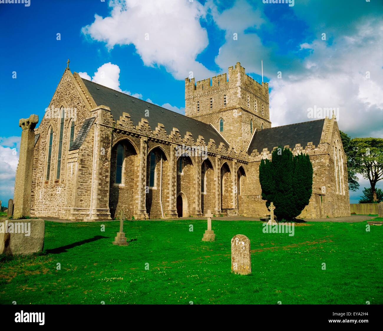 St. Bridgets WellHoly well · 1736 yd
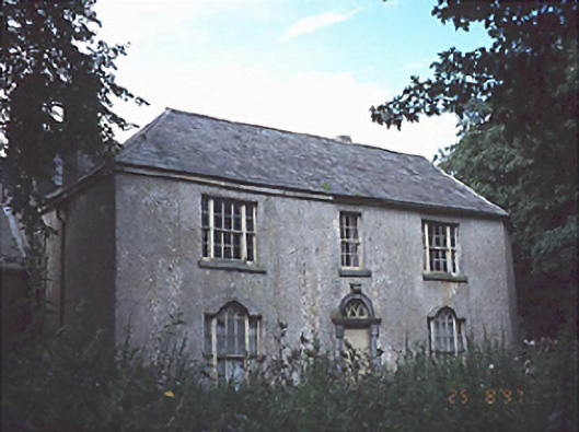 Belan Househouse · 1.0 mi
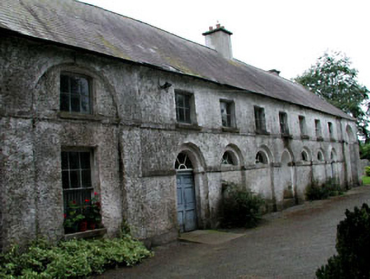 Riverstown Househouse · 1.0 mi
 IndicatedHoly well · 1.1 mi
 OutlinedCastle, unclassified · 3.2 mi
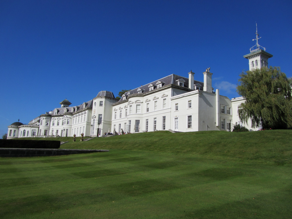 Cloney CastleCastle, unclassified · 3.7 mi
 Church (in Ruins), GraveyardChurch · 4.8 mi
 Bog Lake WalkWalking route · 6.7 mi
 Derryounce Walk (Yellow Loop)Walking route · 7.1 mi
 Bithia Mary CrokerMemorial · 7.8 mi