
What is recorded here
On the 1841 ed. OSi 6-inch map a circular-shaped area (diam. c. 19m) annotated 'Burial Ground' is depicted to the SE of Lisselton Church ruins( KE005-066----). On the 1896 ed. 25-inch OSi map the burial ground has been truncated at NE by a road and at NW by a stream, the burial area is now shown as a small…
Read the whole record
From the National Monuments Service (Archaeological Survey of Ireland) record KE005-067
Places near here
Photo credits
- National Inventory of Architectural Heritage
- Maker not stated on source page, en.wikipedia.org
- Maker not stated on source page, www.gettyimages.com
- Maker not stated on source page, tr.pinterest.com
- Maker not stated on source page, commons.wikimedia.org
- Maker not stated on source page, www.flickr.com
- Maker not stated on source page, za.pinterest.com
- Maker not stated on source page, www.agriland.ie
- Maker not stated on source page, www.pinterest.com
- Maker not stated on source page, www.alamy.com
- Colin Park, Wikimedia Commons · CC BY-SA 2.0
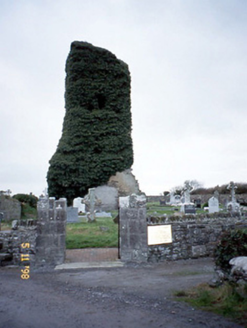 Lisselton ChurchChurch/chapel · 45 yd
Explorer Tom Lisselton Church is a tower that lost its body but kept all the attitude. The ivy is doing heavy lifting to keep it…
 Church (in Ruins)Church · 46 yd
Explorer Tom Church in Loughanes, County Kerry: Locals swear by a superstition here that if you blink while looking at these ruins…
 Fairy fort / earthen ringfort in Lyre (iraghticonnor By.)Fairy fort / earthen ringfort · 448 yd
Explorer Tom Fairy fort / earthen ringfort in Lyre is massive and looks like it swallowed a fieldbank for breakfast. A fox took…
 Fairy fort / earthen ringfort in Ballingowan (iraghticonnor By.)Fairy fort / earthen ringfort · 635 yd
Explorer Tom Fairy fort / earthen ringfort in Ballingowan is where a poet once fell in and wrote a sonnet about mud, which was…
 Fairy fort / earthen ringfort in LoughanesFairy fort / earthen ringfort · 722 yd
Explorer Tom The dance held at this fairy fort in Loughanes went so far that three farmers forgot how to walk straight for a week.…
 Fairy fort / earthen ringfort in Guhard South,loughanes,ballydonohoeFairy fort / earthen ringfort · 969 yd
Explorer Tom Fairy fort / earthen ringfort in Guhard South is playing possum with its missing half-wall. It’d post, 'Living my best…
 Fairy fort / earthen ringfort in BallydonohoeFairy fort / earthen ringfort · 1139 yd
Explorer Tom Fairy fort / earthen ringfort in Ballydonohoe was once bought by a cow who thought it was a good investment. She lost…
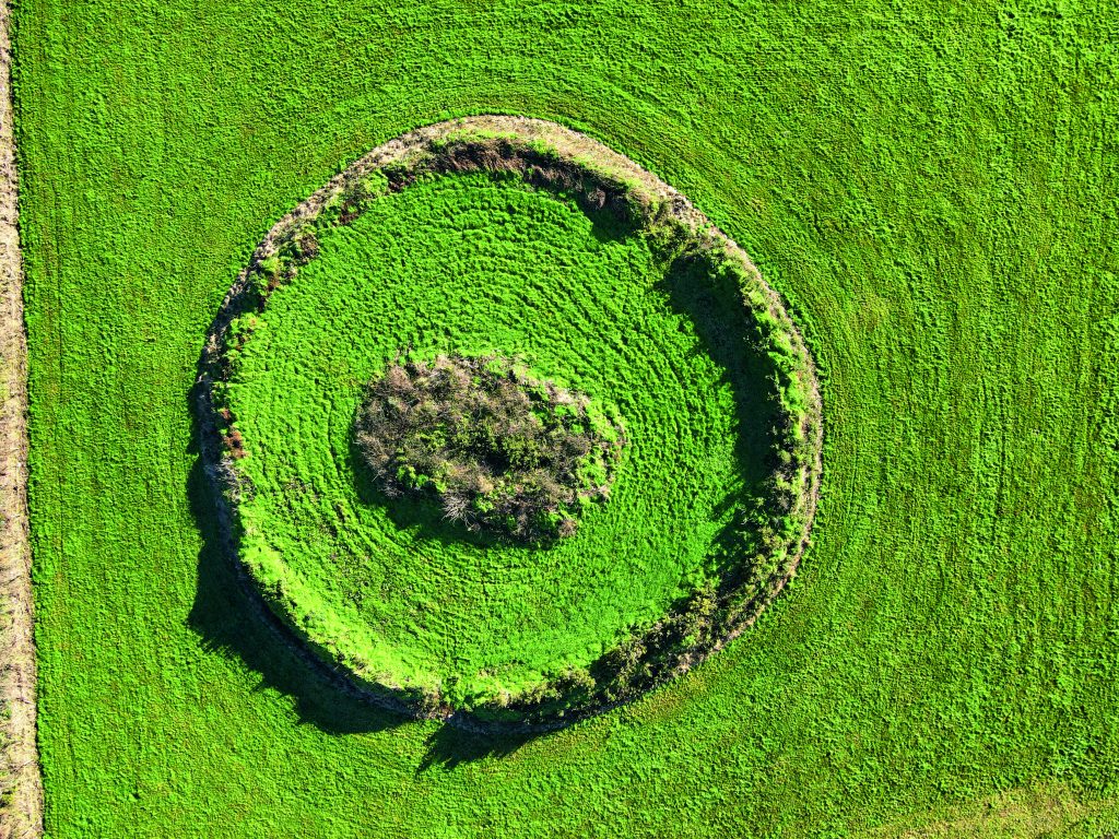 Fairy fort / earthen ringfort in Lacka East (iraghticonnor By., Urlee Ed)Fairy fort / earthen ringfort · 1144 yd
Explorer Tom Fairy fort / earthen ringfort in Lacka East would have told Saint Patrick to stop talking and just go away. It’s been…
 Fairy fort / earthen ringfort in Guhard SouthFairy fort / earthen ringfort · 1262 yd
Explorer Tom Fairy fort / earthen ringfort in Guhard South makes a spooky sound at night, or maybe it’s just the wind getting into…
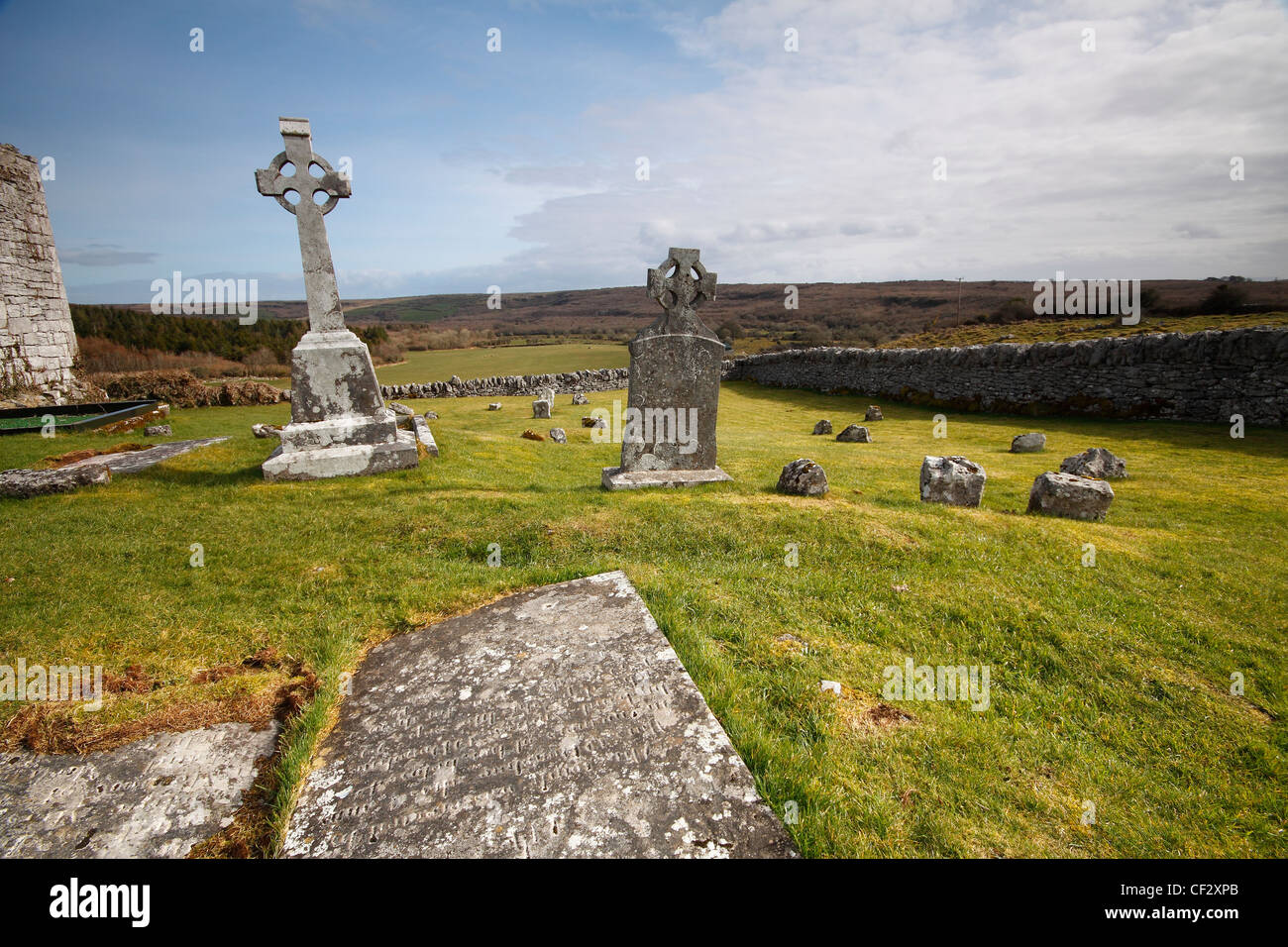 Mapped cemeteryCemetery · 2.1 mi
Explorer Tom Mapped cemetery in County Kerry would say in a job interview that it has excellent references, though all of them are…
 Galey CemeteryGraveyard · 2.3 mi
Explorer Tom Galey Cemetery has very strong opinions about tourists from Dublin and what they’re doing in Kerry with their fancy…
 KnockanoreMountain / peak · 2.3 mi
Explorer Tom Knockanore in Kerry says the map makers got it wrong because they were too busy eating sandwiches to look up properly.…
More archaeology and monuments in County Kerry · All of County Kerry

What do you know about this place?Tap to add a comment or ask a question