
What is recorded here
From the National Monuments Service (Archaeological Survey of Ireland) record WI037-003
Places near here
Photo credits
- Maker not stated on source page, storage.googleapis.com
- Maker not stated on source page, en.wikipedia.org
- Maker not stated on source page, www.flickr.com
- Maker not stated on source page, tr.pinterest.com
- Simon Dowling, Wikimedia Commons · CC BY-SA 4.0
- National Inventory of Architectural Heritage
- Smirkybec, Wikimedia Commons · CC BY-SA 4.0
- Airial Travel / source photographer not stated, Airial Travel
- Golfing in Ireland; photographer not stated, Source publisher
 Fairy fort / earthen ringfort in ButlersgrangeFairy fort / earthen ringfort · 773 yd
Explorer Tom Fairy fort in Butlersgrange is a 50-meter circle of pure sass. The faeries probably moved out because the neighbors…
 Standing stone in ButlersgrangeStanding stone · 897 yd
Explorer Tom Standing stone in Butlersgrange is a thin triangular flagstone that locals claim is connected to events of 1798, which…
 Fairy fort / ringfort in KnockloeFairy fort / ringfort · 1132 yd
Explorer Tom Knockloe’s fairy fort sparked a parish argument so loud the angels got earplugs back in 1838. It’s basically invisible…
 Saint Patrick's CemeteryCemetery · 1.2 mi
Explorer Tom Saint Patrick's Cemetery in County Carlow claims it once smuggled a whole barrel of whiskey past the customs men. The…
 Rathgall, HachuredHillfort · 1.4 mi
Explorer Tom Rathgall holds a deep secret about which side of its four concentric rings was built by actual people versus giant…
 The CottageOutbuilding · 1.4 mi
Explorer Tom The Cottage in Tullowphelim (outbuilding) is a U-shaped farm building with strong opinions on privacy. I bet it took…
 Tullow Monastery National SchoolSchool · 1.7 mi
Explorer Tom Tullow Monastery National School is a U-shaped granite beast from 1910 with a veranda that looks like it’s judging your…
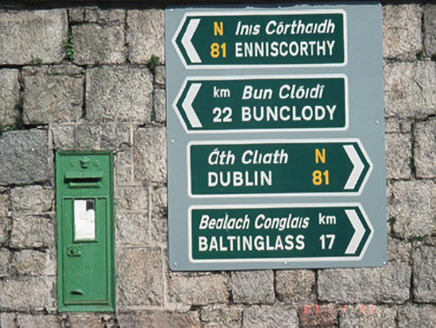 post box1.7 mi
Explorer Tom Post box in Tullowphelim is a wall-mounted cast-iron Victorian letter box from 1890 that’s just sitting there judging…
 Catholic Church of the Most Holy RosaryChurch/chapel · 1.7 mi
Explorer Tom Most Holy Rosary in Tullowphelim has a spire that's trying so hard to touch God it might just embarrass itself. It's…
 Mullawn CemeteryCemetery · 1.8 mi
Explorer Tom Mullawn Cemetery is having a massive row with the sky about its damp socks. The clouds have been sulking over it since…
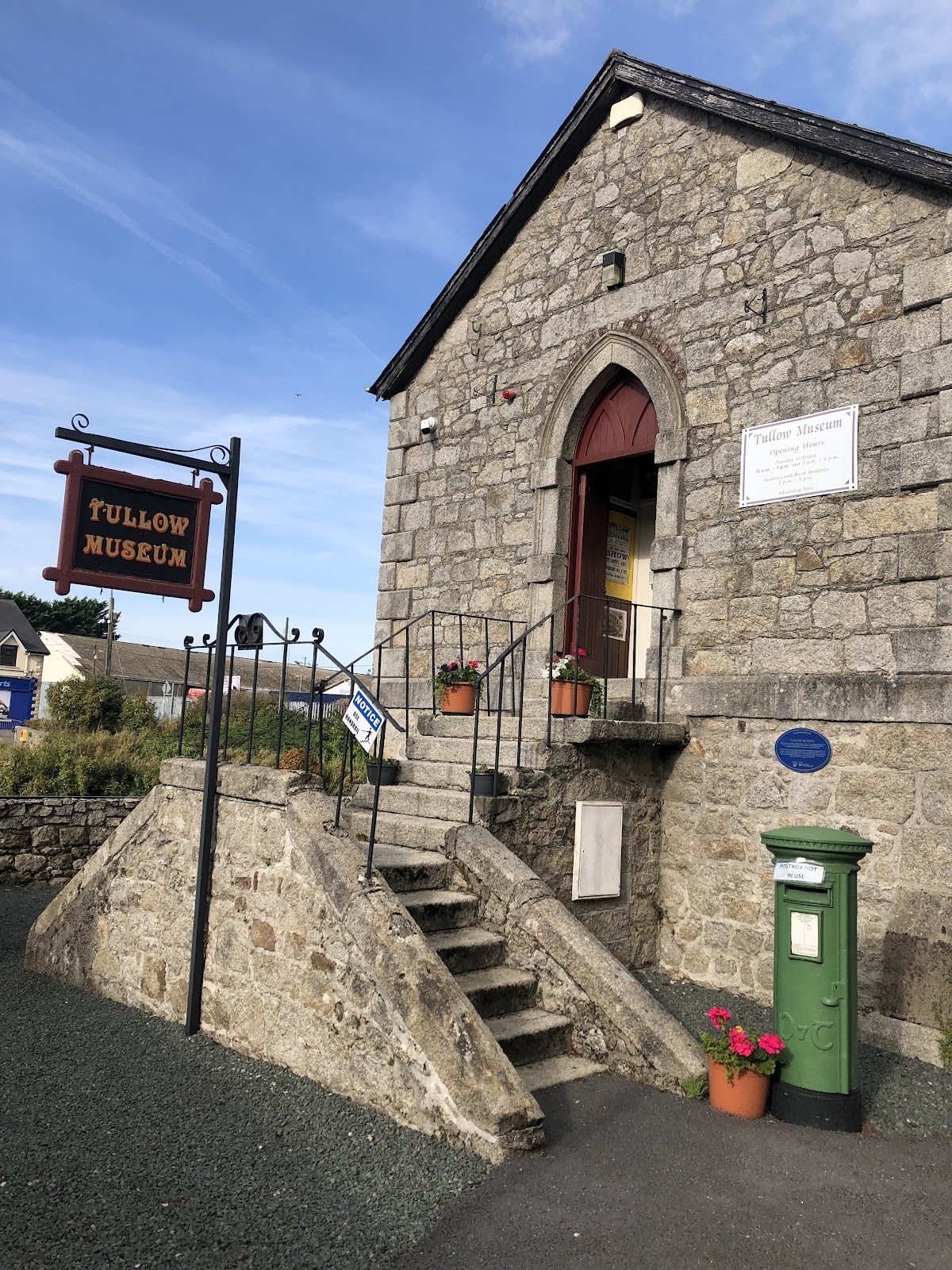 Tullow MuseumMuseum · 1.9 mi
Explorer Tom Tullow Museum fills a former Methodist church beside the River Slaney bridge with the sort of local objects that refuse…
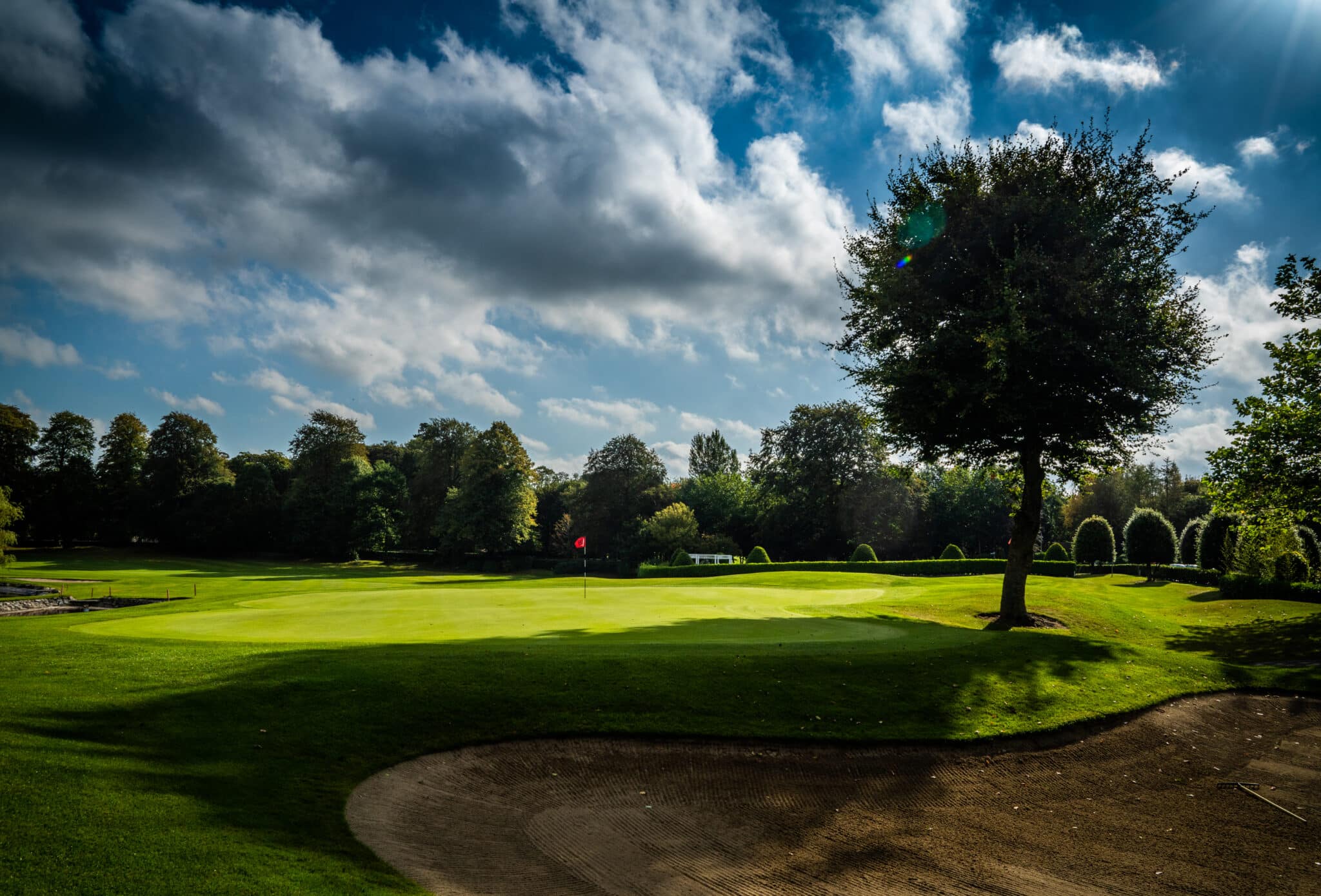 Mount Wolseley Golf ClubGolf course · 2.0 mi
More archaeology and monuments in County Wicklow · All of County Wicklow

What do you know about this place?Tap to add a comment or ask a question