What is recorded here
Situated just SE of the centre of an ecclesiastical enclosure (CL026-003001-). Named 'Children's Burial Ground (disused)' on the 1920 ed. of the OS 6-inch map and listed as 'Burial ground' in the RMP (1996). A rectangular overgrown area (int. dims. 30m E-W; 27m N-S; ext. dims. 42m E-W; 35m N-S) defined by a stone spread (Wth 3-4m; H 0.5-1m) with some facing stones at N (original Wth 1.4m). The entrance (Wth 1.5m) is towards the S end of the E side, and there is a cairn (CL026-003006-) (diam. 5m; H 0.7m) outside the perimeter at N, but there are no grave-markers. (O'Flanagan 1928, vol. 2, 48; MacMahon 1984, 17)
Compiled by: Michael Moore
Date of upload: 28 November 2016
The monument record does not grant public access. Check the route and ask the landowner before entering private land.
- What survives
- Recorded monument
Places near here
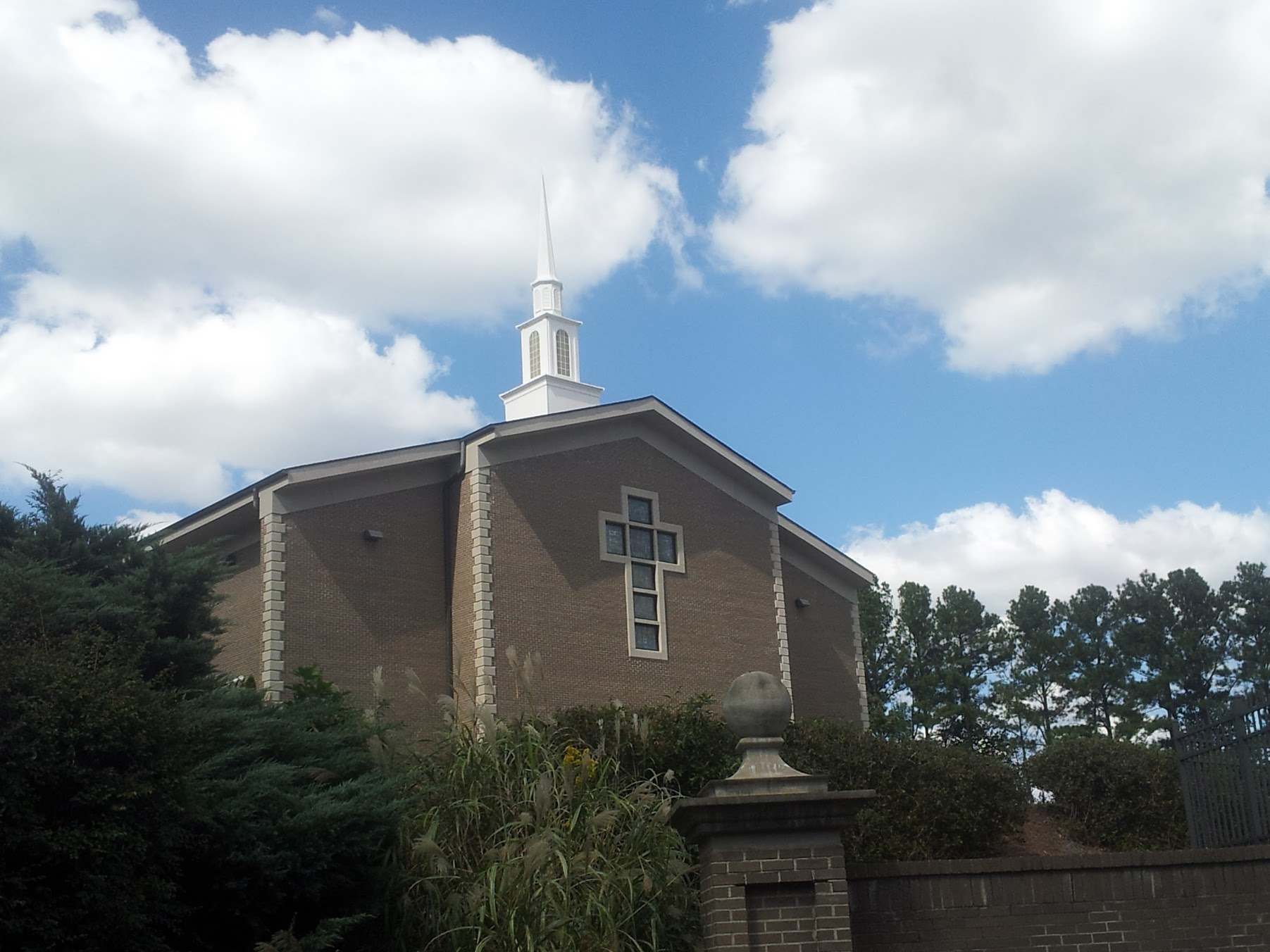 Church in KillianChurch · 11 yd
 Kilvake Church (in ruins)Church · 1202 yd
 CastleCastle, ringwork · 1299 yd
 Dromore WoodWood · 1418 yd
 Dromore CastleCastle · 1469 yd
 Gorteenflugh FortEnclosure · 1483 yd
 IndicatedEnclosure · 1750 yd
 Ballygriffy WoodWood · 2.5 mi
 Mulkere MemorialMemorial · 2.5 mi
 Battle of TullyodeaBattlefield · 2.9 mi
 Poul na gollorCave · 7.0 mi
 Alice and Gwendoline CaveMuseum · 7.4 mi