What is recorded here
Situated on a low sand ridge in undulating terrain. In 1944, during ploughing, a stone lined grave orientated E-W was uncovered (Raftery 1944, 166-9). In 1963 and 1964 a further seven were discovered. These produced the inhumed remains of adults, all with their head at the W end. (Lucas 1966, 12-13; Cahill and Sikora 2011, Vol. 2, 213-228)
The above description is derived from the published 'Archaeological Inventory of County Wicklow' (Dublin: Stationery Office, 1997). In certain instances the entries have been revised and updated in the light of recent research.
Revised by: Claire Breen
Date of upload: 24 July 2012
Early Bronze Age stone-lined cist graves; significant for their orientation and context in a lowland setting, reflecting burial practices of the period in the region.
The monument record does not grant public access. Check the route and ask the landowner before entering private land.
- What survives
- Recorded monument
Places near here
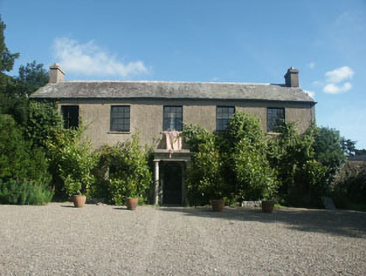 Tinnapark Househouse · 668 yd
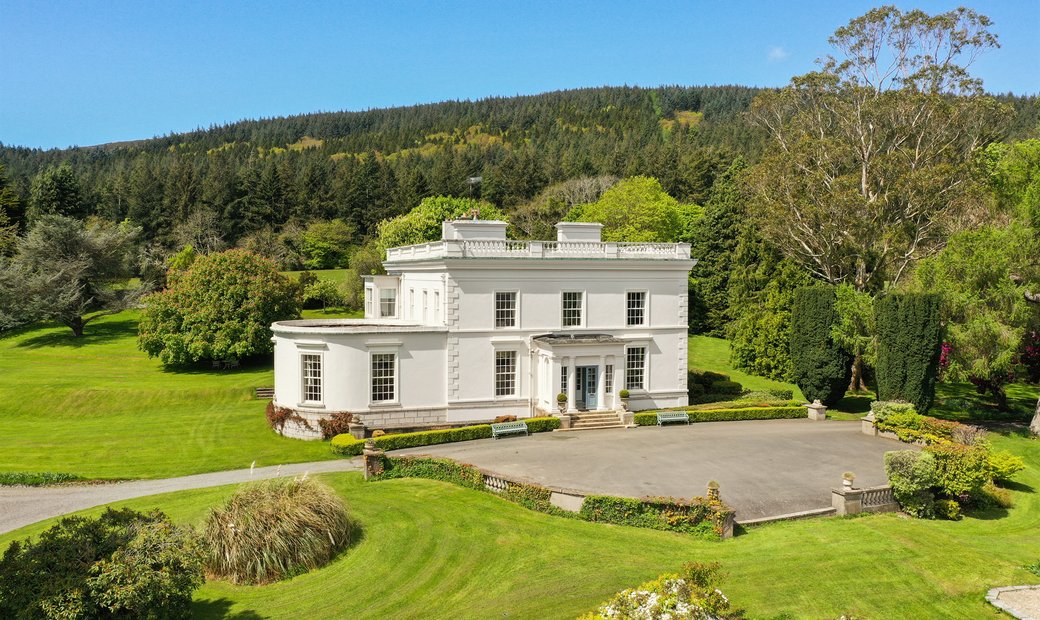 Enclosure in Tinnapark DemesneEnclosure · 935 yd
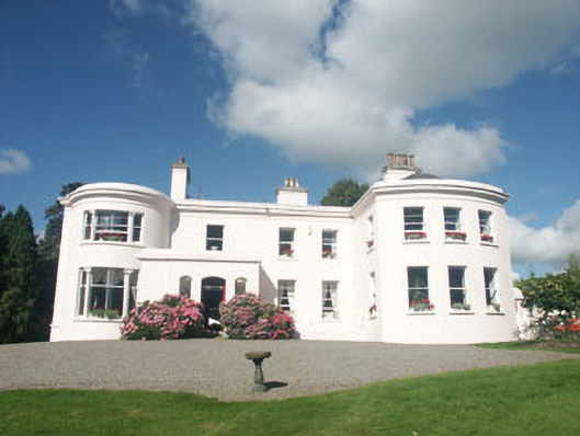 Bromley Househouse · 1003 yd
 CastleCastle, motte · 1463 yd
 St. Patricks R.C. ChapelFont · 1.2 mi
 Kavannagh Real Christmas Trees FarmForest · 1.6 mi
 Glen of the DownsNature reserve · 1.6 mi
 Delgany Heritage TrailWalking route · 1.9 mi
 Kindlestown Castle (in ruins)Castle, hall-house · 2.3 mi
 Glenroe FarmHeritage attraction · 2.5 mi
 Greystones South BeachBeach / strand · 3.2 mi
 Great SugarloafMountain / peak · 3.2 mi