
What is recorded here
Situated beside the main entrance to Tinnapark House. Roughly circular enclosure (diam. 60m) consisting of a domed area (H 2m) defined by a bank (visible only as a cropmark) with a possible inturned entrance feature at the N, the latter visible on aerial photograph (CUCAP, BDJ 107). There is an external fosse (Wth 2-4m) which is connected to a field fosse to the N by two drainage channels. The site is shown as a polygonal tree-grown feature on the 1838 OS 6-inch map, and is probably a landscape feature.
The above description is derived from the published 'Archaeological Inventory of County Wicklow' (Dublin: Stationery Office, 1997). In certain instances the entries have been revised and updated in the light of recent research.
Date of upload/revision: 17 December 2008
A local fairy fort (ringfort/rath); wider significance not recorded.
The monument record does not grant public access. Check the route and ask the landowner before entering private land.
- What survives
- Recorded monument
Places near here
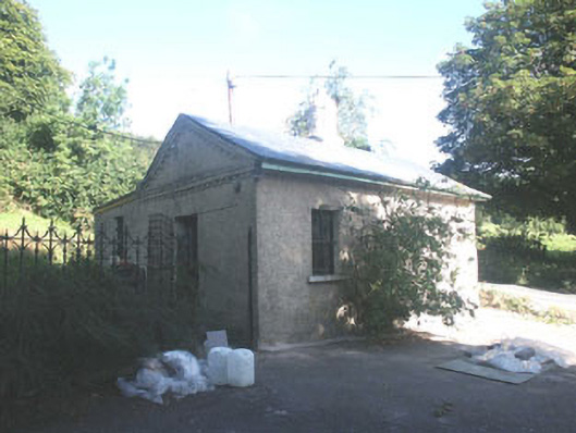 Altidore Castlegate lodge · 435 yd
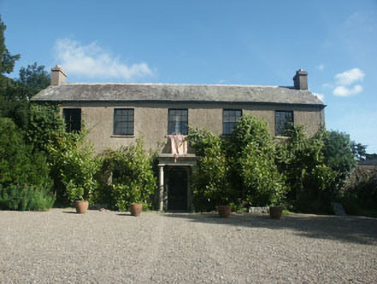 Tinnapark Househouse · 566 yd
 CastleCastle, motte · 1628 yd
 Kavannagh Real Christmas Trees FarmForest · 1.2 mi
 Font in WoodlandsFont · 1.4 mi
 IndicatedHoly well · 1.5 mi
 Glen of the DownsNature reserve · 1.8 mi
 Delgany Heritage TrailWalking route · 2.2 mi
 Kindlestown Castle (in ruins)Castle, hall-house · 2.6 mi
 Glenroe FarmHeritage attraction · 3.1 mi
 Great SugarloafMountain / peak · 3.1 mi
 Great Sugar LoafMountain · 3.1 mi
Other information
Photo: Credit not shown in the picture search · Rights wording not checked; contact us if this picture should be removed