What is recorded here
In pasture, immediately W of the Owenmore River and in an area known locally as Derreen. According to local information, a dry slightly domed subrectangular area (c. 15m E-W; c. 10m N-S), with rounded corners, defined on its S and W sides by drains and on its N side by a growth of irises, is known locally as a burial ground. Within this burial ground are 100-120 grass-covered hummocks (L 0.5m; Wth 0.3m; H 0.2m), aligned E-W, arranged in six rows. The date of this burial ground is not known but it is believed locally to have been used for famine victims. (pers. comm. M. A. Timoney)
The above description is derived from the published 'Archaeological Inventory of County Sligo' compiled by Ursula Egan, Elizabeth Byrne, Mary Sleeman with Sheila Ronan and Connie Murphy (Dublin Stationery Office, 2005).
Date of upload: 18 January 2008
A Neolithic passage tomb; significant as part of a broader network of megalithic monuments in the northwest of Ireland.
The monument record does not grant public access. Check the route and ask the landowner before entering private land.
- What survives
- Recorded monument
Places near here
 Indicated (1838).Enclosure · 955 yd
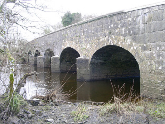 Templehouse Bridgebridge · 1336 yd
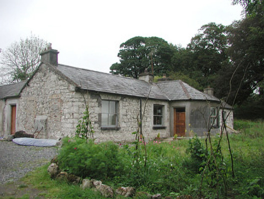 Somertonhouse · 1441 yd
 ElderElder · 1.2 mi
 CrossCross, High cross · 1.2 mi
 RathdoonyCastle, motte · 1.3 mi
 European ashEuropean ash · 1.6 mi
 Brother WalfridMemorial · 2.3 mi
 Ballymote CastleCastle · 2.4 mi
 James MorrisonMemorial · 4.5 mi
 Tymon's HillMountain / peak · 4.7 mi
 Tullaghan HillMountain / peak · 4.9 mi