What is recorded here
The killeen in Rathard is a hilly pasture field where no grave marker remains, yet a supposed pathway led northwest toward Kilbonane graveyard. The land keeps its dead beneath grass and foottraffic, visible only in the memory of a route rather than a row of stones.
Hilly pasture field known locally as "the killeen". Pathway supposed to have led from here to Kilbonane graveyard (CO084-012001-) c. 1.5km to NW. No surface trace of burials.
The above description is derived from the published 'Archaeological Inventory of County Cork. Volume 3: Mid Cork' (Dublin: Stationery Office, 1997). In certain instances the entries have been revised and updated in the light of recent research.
Date of upload/revision: 14 January 2009
The monument record does not grant public access. Check the route and ask the landowner before entering private land.
- What survives
- Recorded monument
Places near here
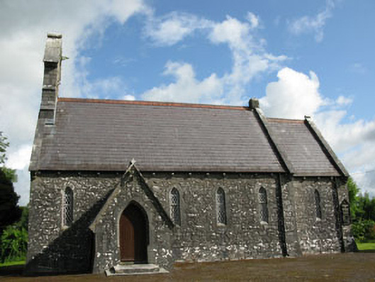 St Mark's Church of Ireland Churchchurch/chapel · 1001 yd
 Annesgrovehouse · 1186 yd
 Fulacht FianFulacht fia · 1216 yd
 Fulacht fia in KilcreaFulacht fia · 1.1 mi
 Kilcrea CastleWood · 1.7 mi
 Kilcrea Castle (in Ruins)Castle, tower house · 1.7 mi
 Pedunculate OakPedunculate Oak · 2.3 mi
 Castlemore CastleCastle · 2.9 mi
 Graveyard in KilnagnadyGraveyard · 3.1 mi
 Sunday's WellSpring · 3.7 mi
 Charlie Hurley MemorialMemorial · 4.2 mi
 Sunday WellSpring · 4.4 mi