What is recorded here
Situated on a level landscape with the canalised NW-SE Clonard stream c. 150m to the NE. Ploughing during 2007 in the vicinity of ringwork castle (ME047-005----) exposed fragmented human remains in a concentrated area (diam. c. 19m) defined by a band of brown clay exposed by the ploughing (SMR file). The burials were close to the surface and appear to have been laid W-E with the heads at the W. From an initial examination of the dentition by Laureen Buckley they appear to lack caries and are probably medieval in date. At least ten individuals, adults and juveniles are represented. Two inhumations at different levels had come to light during 1951 in the course of roadworks at Mulphedder (Cahill and Sikora 2011, vol. 2, 504, 7.160). The exact location of these is not known, although they may have been related to the burial ground. The lower was aligned W-E with the head at W and the upper was oriented N-S with the head at N.
Compiled by: Geraldine Stout
Date of upload: 13 March 2013
Amended: 13 August 2019
The monument record does not grant public access. Check the route and ask the landowner before entering private land.
- What survives
- Recorded monument
Places near here
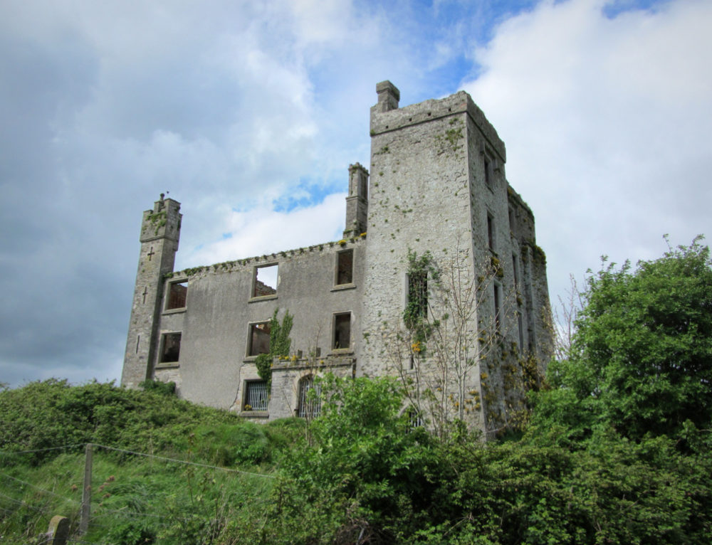 CastleCastle, ringwork · 85 yd
 Field system in Anneville or Clonard OldField system · 300 yd
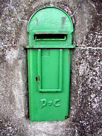 post boxpost box · 356 yd
 St. Finian of ClonardMonument · 385 yd
 Saint Finian's Church (Clonard)church/chapel · 419 yd
 Croppies' GraveMemorial · 1746 yd
 Abandoned Kinnegad CanalWood · 1.1 mi
 Queen Marys CastleCastle, tower house · 1.7 mi
 Rahin WoodsForest · 3.6 mi
 The Grill ShackHeritage attraction · 11 mi
 Lismahon 1798 MemorialMonument · 19 mi
 Conolly's FollyHeritage attraction · 19 mi