What is recorded here
The following description is derived from both the published 'Archaeological Inventory of County Louth' (Dublin: Stationery Office, 1986) and the 'Archaeological Survey of County Louth' (Dublin: Stationery Office, 1991). In certain instances the entries have been revised and updated in the light of recent research.
Date of upload/revision: 17 July 2007
Situated on a low flat hillock and discovered c. 1909 during the course of ploughing. Prior to that date gravel-digging had revealed four human skeletons (CLAJ 1909, 204). The owner of the land, on discovering the remains in 1909, uncovered an area of c. 10m by 4.5m. An estimated forty skeletons were discovered, only three of which appeared to be complete. The graves were closely adjoining, separated from each other by rough stones and covered wholly or partially with rough stones. The graves were not more than one foot under the surface. A spindle-whorl was found amongst the graves. (CLAJ 1909, 204-5)
A local ancient tomb; wider significance not recorded.
The monument record does not grant public access. Check the route and ask the landowner before entering private land.
- What survives
- Recorded monument
Places near here
 Enclosure in MullanstownEnclosure · 9 yd
 Site of Mullanstown CastleCastle, unclassified · 367 yd
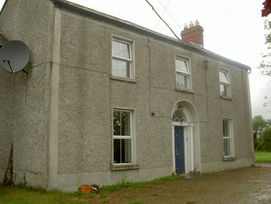 Fairview Househouse · 949 yd
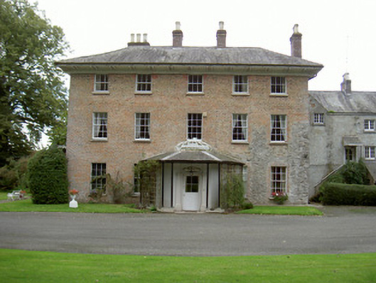 Red Housecountry house · 990 yd
 English hollyEnglish holly · 1000 yd
 European BeechEuropean Beech · 1002 yd
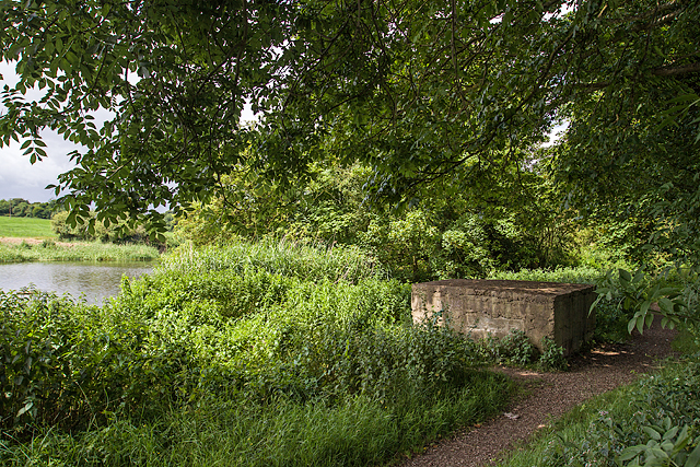 Enclosure in MullacloeEnclosure · 1220 yd
 Sir Frederick Foster MemorialMemorial · 1543 yd
 The LissCastle, motte · 1576 yd
 Graveyard in StickillinGraveyard · 2.3 mi
 Screedoge HillMountain / peak · 2.9 mi
 Gun HillMountain / peak · 5.4 mi