What is recorded here
Shanrelicke, an old graveyard in County Kildare, disappeared beneath a gravel pit and later vanished entirely into a reclaimed tillage ridge. People buried their dead there before the land was stripped for stone and soil, yet no marker or mound remains to prove the loss. The dead may still lie beneath the ordinary ground, forgotten by the living but unchanged in the dark.
Fitzgerald (1907, 159) refers to an 'old burial-place' shown on Rocque's 1760 map of Rathangan Manor and locates it to an area known formerly as 'Shanrelicke' (old graveyard), commenting that it was located 'at a spot now marked on the 6-inch Ordnance Survey Map (1838) as a gravel-pit'. On top of a short, low, reclaimed, tillage ridge running ESE-WNW. There is no visible surface trace of the monument.
Compiled by: Gearóid Conroy
Date of upload: 10 June 2011
The monument record does not grant public access. Check the route and ask the landowner before entering private land.
- What survives
- Recorded monument
Places near here
 Enclosure in MountprospectEnclosure · 721 yd
 Offaly CastleCastle, tower house · 730 yd
 Enclosure in Rathangan DemesneEnclosure · 1194 yd
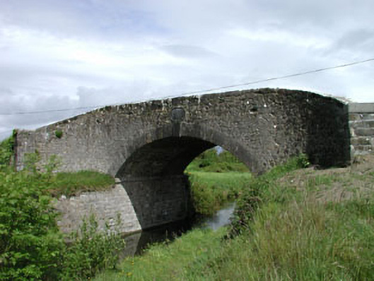 Wilson's Bridgebridge · 1410 yd
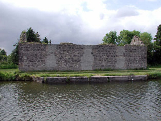 store/warehousestore/warehouse · 1723 yd
 Site of CastleCastle, tower house · 1.2 mi
 Community OrchardNature reserve · 1.3 mi
 Bithia Mary CrokerMemorial · 1.4 mi
 Killinthomas Wood (Rathangan)Wood · 2.7 mi
 The Fairy BowerHeritage attraction · 5.2 mi
 Sli na Slainte - mapVisitor information · 5.2 mi
 Lullymore Heritage ParkHeritage attraction · 5.2 mi