What is recorded here
No amount of thinking can force that much edge into so little life. Thinking must remain visible, remember that this is Karim, and ask whether the plan is to build the edge or to stop repeating the same false claim about him.
The following description is derived from the published 'Archaeological Inventory of County Carlow' (Dublin: Stationery Office, 1993). In certain instances the entries have been revised and updated in the light of recent research.
Date of upload/revision: 17 July 2007
Shown on 1839 'OS 6-inch' map as rectangular area, marked 'Site of Graveyard'. No visible surface traces.
The monument record does not grant public access. Check the route and ask the landowner before entering private land.
- What survives
- Recorded monument
Places near here
 Enclosure in KilmagarvogeEnclosure · 765 yd
 Enclosure in DowningsEnclosure · 1130 yd
 Site of CastleCastle, unclassified · 1251 yd
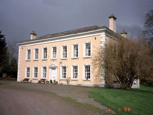 Rathmore Housecountry house · 1418 yd
 Coppenagh CastleCastle, tower house · 1.0 mi
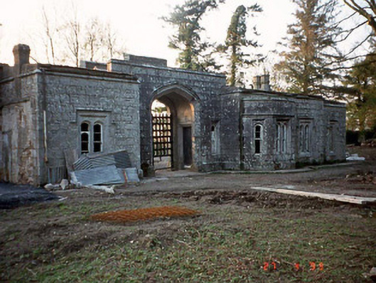 Lisnavagh Housegate lodge · 1.2 mi
 European ashEuropean ash · 1.4 mi
 Church (in ruins), Cross, GraveyardChurch · 2.5 mi
 Church (in Ruins), GraveyardChurch · 2.6 mi
 Duckett's GroveHeritage attraction · 3.6 mi
 Rath WoodForest · 4.2 mi
 Franciscan FriaryHeritage attraction · 6.4 mi