What is recorded here
Kilmackilloo burial ground has vanished without a trace, leaving only light soil and scattered rock outcrops in County Donegal. Sheep graze the exact spot where dead people once rested, unaware they walk across forgotten bones. The higher ground to the south still watches over the empty field, keeping a quiet guard for ghosts nobody remembers naming.
Kilmackilloo burial ground is noted on the 2nd edition of the OS 6-inch map. There is no trace of it now. It was located in light-soiled ground, suitable for grazing, marked by the occurrence of rock outcrop. It is overlooked by higher ground to the S.
The above description was derived from the 'Archaeological Survey of County Donegal. A description of the field antiquities of the County from the Mesolithic Period to the 17th century.' Compiled by: Brian Lacey with Eamon Cody, Claire Cotter, Judy Cuppage, Noel Dunne, Vincent Hurley, Celie O'Rahilly, Paul Walsh and Seán Ó Nualláin (Lifford: Donegal County Council, 1983). In certain instances the entries have been revised and updated.
Date of upload: 22 September 2008
This remains an important historical record, but the official description says the monument is no longer visible or has been destroyed. The monument record does not grant public access. Check the route and ask the landowner before entering private land.
- What survives
- No visible remains or recorded as destroyed
Places near here
 Former Creeslough EnclosureEnclosure · 761 yd
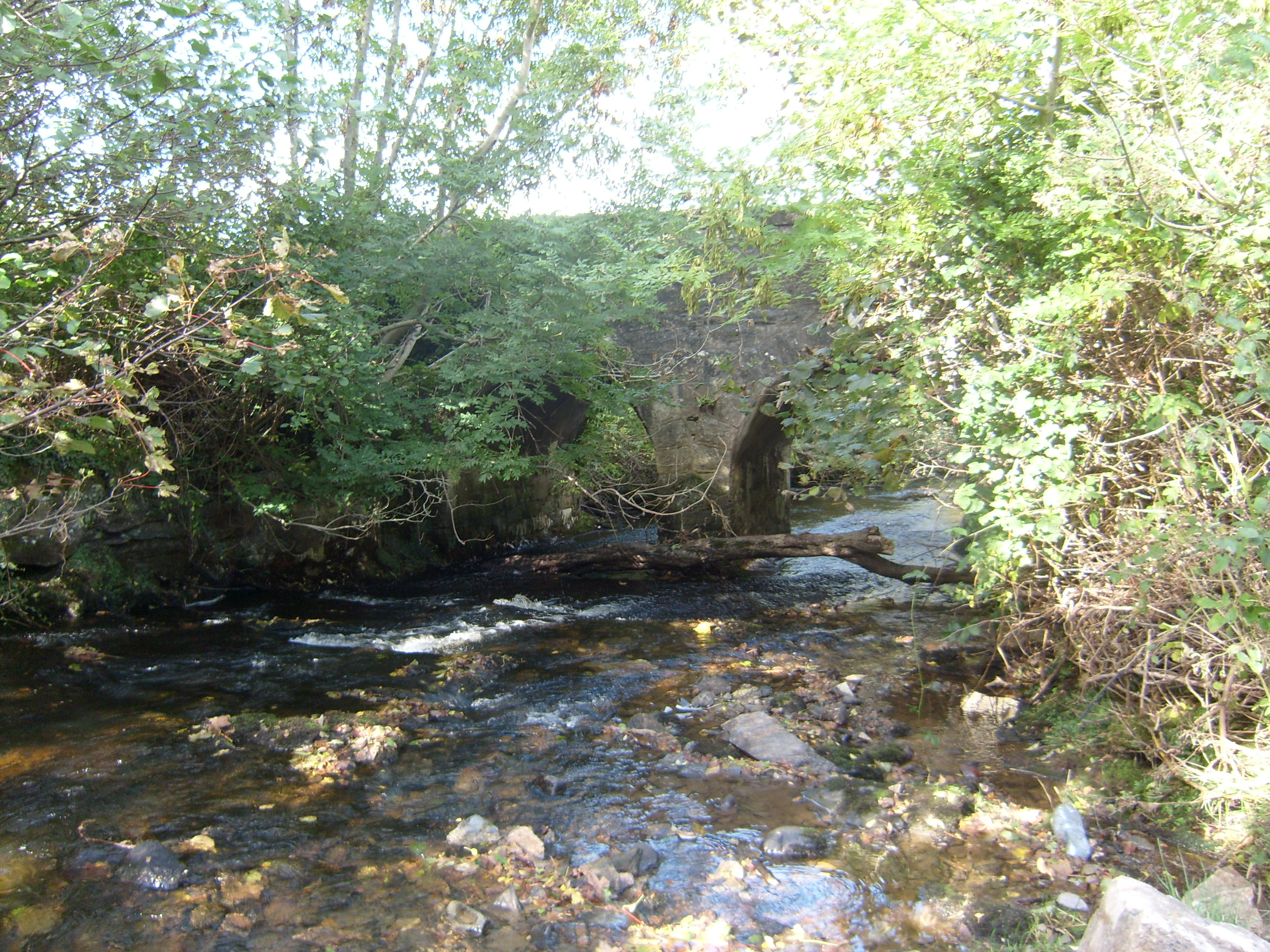 bridgebridge · 949 yd
 Saint Michael's Catholic Churchchurch/chapel · 1225 yd
 Duntally Wood Nature ReserveNature reserve · 1609 yd
 Dermot & Grania's BedArchaeological place · 1705 yd
 Ards Forest ParkForest recreation place · 2.3 mi
 Doe CastleCastle, tower house · 2.7 mi
 MuckishMountain / peak · 2.9 mi
 The TunnelHeritage attraction · 3.0 mi
 Ards Friary Coastal LoopOfficial walking route · 3.7 mi
 Boys IslandIslet · 3.8 mi
 The Bridge of TearsMemorial · 4.0 mi