What is recorded here
Killeenagh means burial ground. The name still fits because the oval ditch, stone mounds and zigzag uprights remain beside the boundary stream. The place holds more than survey lines; it holds the shape of old loss.
The burial ground from which this townland derives its name lies on the W bank of the small stream which forms the townland boundary. It is an irregular oval in plan, defined along its E side by the stream and along its W side by a low, natural scarp, the external ground level being higher than that of the burial ground. It measures a maximum of c. 62m N-S x 25m E-W. The only features visible in the interior are 2 grass-grown mounds of stones, and a number of low uprights, up to .9m high, which form a roughly ziz-zag line, 4m long. It is not known what these represent.
About 50m to NW of the burial ground are 4 low uprights, up to .45m high, which may be grave-markers. Digging around these revealed what appeared to be empty graves (local information).
The above description is derived from J. Cuppage, ‘Corca Dhuibhne. Dingle Peninsula archaeological survey. Ballyferriter. Oidhreacht Chorca Dhuibhne’ (1986), no. 900. In certain instances the entries have been revised and updated in the light of recent research.
Date of upload: 7 August 2013
The monument record does not grant public access. Check the route and ask the landowner before entering private land.
- What survives
- Recorded monument
Places near here
 KilnKiln, corn-drying · 63 yd
 Church in LackChurch · 598 yd
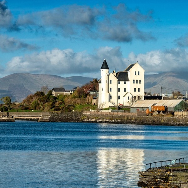 Hut site in CaherpierceHut site · 996 yd
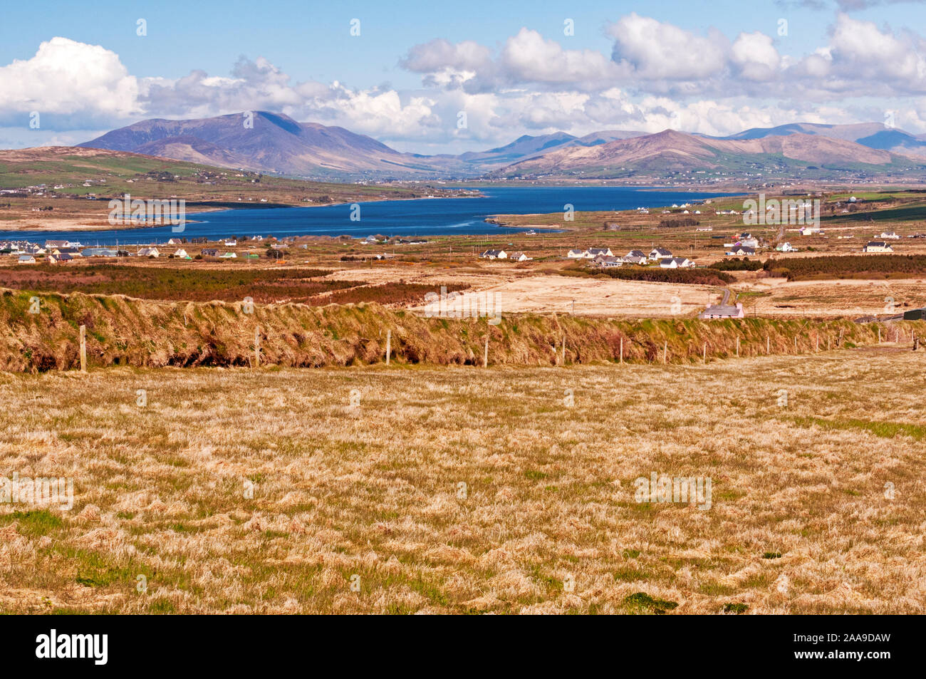 IndicatedHoly well · 1340 yd
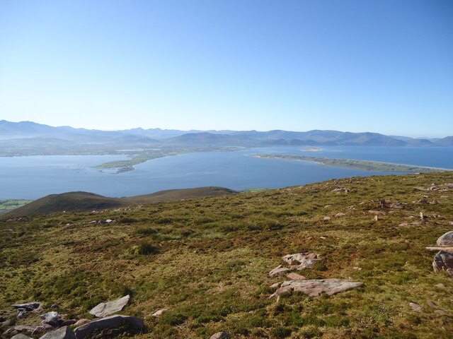 MoanlaurMountain / peak · 1.3 mi
 Cromane PointHeadland · 1.4 mi
 KnockmoreMountain / peak · 1.4 mi
 Cromane BeachBeach / strand · 3.1 mi
 Inch BeachBeach / strand · 3.2 mi
 CastleCastle, unclassified · 3.7 mi
 Faisr's GraveArchaeological place · 3.9 mi
 Site of Camp CastleCastle, unclassified · 4.2 mi