What is recorded here
Thirty-one people sleep in four neat rows on a slight rise in Iffernock, their heads pointing southwest as if still facing some forgotten road. The graves clustered within fifteen metres, occasionally cutting through one another, while a later drive to Teaguestown House rolled across four of them. Dental decay marks the bones as post-medieval, but the arrangement sounds like a small community that knew each other and returned again and again to the same patch of elevated earth.
Located on a slight rise in an elevated part of a large field. Archaeological monitoring (03E1828) identified human remains in an area (dims c. 6m x c. 6m) which were excavated as site 1 when 31 inhumations were recovered. All but one of the burials were aligned SW-NE in a supine position with the heads at SW and included 8 adult males, 9 adult females, 3 undetermined adults, 3 adolescents, 4 juveniles, and 4 infants including 1 neonate. The graves were regularly spaced in four orderly rows covering a limited area (dims 15m x 12m) with only four instances of interments truncating others. Four of the burials were overlain by the original N-S drive into Teaguestown House, and there were two definite and two possible double interments. The high instance of dental caries suggests a post-medieval date. (Delany 2008; Delany and O'Hara 2009, 3:2, 4:1)
Compiled by: Michael Moore
Date of upload: 9 July, 2019
The monument record does not grant public access. Check the route and ask the landowner before entering private land.
- What survives
- Recorded monument
Places near here
 IndicatedCastle, tower house · 727 yd
 St. Johns FriaryReligious house, Fratres Cruciferi · 742 yd
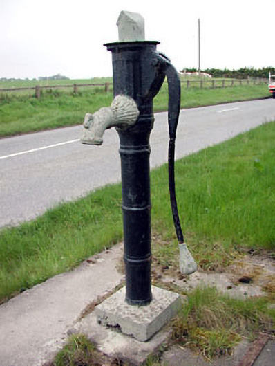 water pumpwater pump · 780 yd
 Newtown AbbeyCathedral · 853 yd
 CrossCross, High cross (present location) · 1024 yd
 Trim CastleCastle, Anglo-Norman masonry castle · 1680 yd
 Saints IslandForest · 3.0 mi
 Small-leaved ElmSmall-leaved Elm · 3.4 mi
 MullaghMountain / peak · 8.4 mi
 Kilgar GardensHeritage attraction · 8.5 mi
 Larchil Arcadian GardensHeritage attraction · 8.7 mi
 Old Bog Road made famous by Teresa Bryton 1868-1943Memorial · 8.8 mi