What is recorded here
Edmondstown, County Louth. Flat-topped ridge, local tradition of a graveyard, precise location no longer known. Whether the ridge is a natural bench or a made one, the story is the same: people died there, were set down there, and the field went back to being a field. Forgetting the mark is not the same as undoing the life.
Local tradition of graveyard on flat-topped ridge. Its precise location is not known.
The above description is derived from both the published 'Archaeological Inventory of County Louth' (Dublin: Stationery Office, 1986) and the 'Archaeological Survey of County Louth' (Dublin: Stationery Office, 1991). In certain instances the entries have been revised and updated in the light of recent research.
Date of upload: 17 July 2007
The monument record does not grant public access. Check the route and ask the landowner before entering private land.
- What survives
- Recorded monument
Places near here
 Martins FortArchaeological place · 62 yd
 CastleCastle, unclassified · 332 yd
 Holy well in EdmondstownHoly well · 381 yd
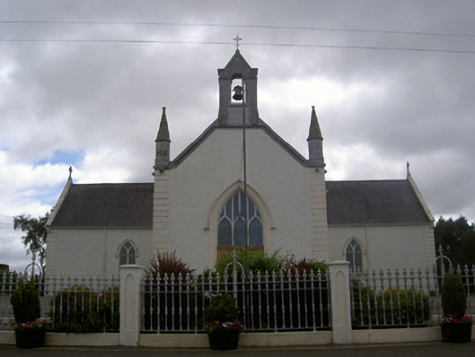 Saint Malachy's Catholic Churchchurch/chapel · 1287 yd
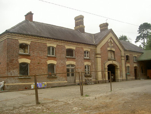 Cardistown Housefarmyard complex · 1646 yd
 The MountCastle, motte and bailey · 1.5 mi
 Flat cemetery in AnnaheanFlat cemetery · 1.7 mi
 Matthew's HillMountain / peak · 2.2 mi
 TuliptreeTuliptree · 2.5 mi
 European YewEuropean Yew · 2.5 mi
 Yellow HillMountain / peak · 3.4 mi
 Sir Frederick Foster MemorialMemorial · 4.7 mi