What is recorded here
Conifers crowd the west half of a triangular field in Dunisky while sheep graze the east, yet locals still call the whole slope a burial ground. The earth may hold forgotten people beneath ordinary grass, waiting for rain or footsteps to reveal what memory has dropped.
In pasture, on NE-facing slope. Triangular field (c. 45m E-W; c. 30m N-S (max.)) enclosed by earthen field fences. W half planted with conifers; rough grazing to E. Known locally as burial ground.
The above description is derived from the published 'Archaeological Inventory of County Cork. Volume 3: Mid Cork' (Dublin: Stationery Office, 1997). In certain instances the entries have been revised and updated in the light of recent research.
Date of upload/revision: 14 January 2009
The monument record does not grant public access. Check the route and ask the landowner before entering private land.
- What survives
- Recorded monument
Places near here
 Castle (Site of)Castle, unclassified · 514 yd
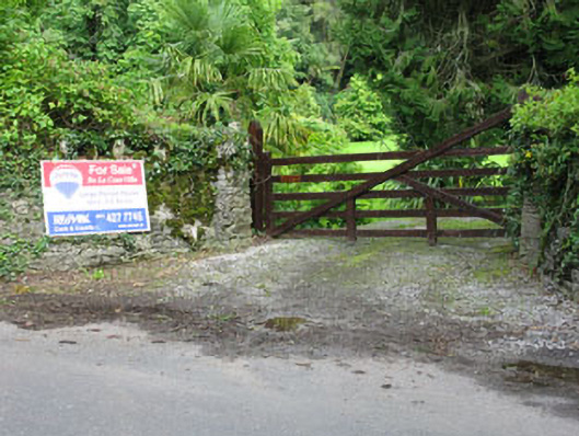 De Lacour Housecountry house · 588 yd
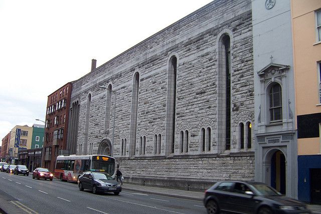 Dunisky Church (Site of)Church · 862 yd
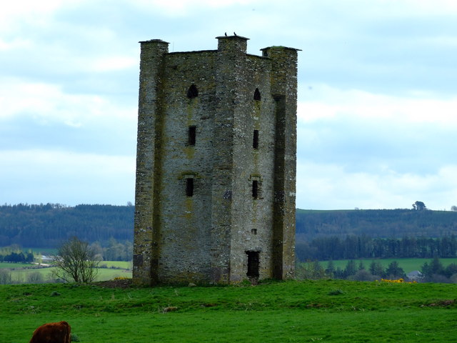 Beamish's Towerfolly · 943 yd
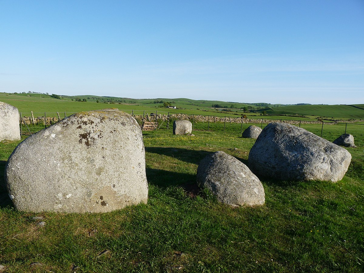 BarrowBarrow, ring-barrow · 1084 yd
 Summerhouse WoodForest · 1.3 mi
 Stephen's WoodForest · 1.4 mi
 Mashanaglass Castle (in Ruins)Castle, tower house · 1.8 mi
 Priest MemorialMemorial · 2.2 mi
 Kilmurry WoodsPicnic place · 2.3 mi
 Independence MuseumMuseum · 2.6 mi
 Battle of Macroombattle · 3.1 mi