What is recorded here
Dumhaigh Mhór holds a buried field where edge-set stones still mark the southern limit of forgotten graves. Sheep graze the sandy hollows today, but the uneven ground and scattered markers preserve the shape of a place set apart for death. The stones may be grave markers or the remains of a boundary, yet they keep the same function: they stop the living from forgetting that the field belongs to the dead.
Marked as a 'graveyard' on the OS 6-inch maps, the site consists of an ill-defined area of rises and hollows and a scatter of stones set on edge in the ground. The stones cover an area in maximum extent of about 13m N-S and about 20m E-W. Some, and may be all, of these stones are grave-markers, but 5 of them, arranged intermittently along the southern limit of the stone scatter, may be the remains of a perimeter edge. The site is on a level stretch of sandy ground in an area marked by ridges of rock outcrop. There is grazing available today.
The above description was derived from the 'Archaeological Survey of County Donegal. A description of the field antiquities of the County from the Mesolithic Period to the 17th century.' Compiled by: Brian Lacey with Eamon Cody, Claire Cotter, Judy Cuppage, Noel Dunne, Vincent Hurley, Celie O'Rahilly, Paul Walsh and Seán Ó Nualláin (Lifford: Donegal County Council, 1983). In certain instances the entries have been revised and updated.
Date of upload: 22 September 2008
The monument record does not grant public access. Check the route and ask the landowner before entering private land.
- What survives
- Recorded monument
Places near here
 Turras DavaddogHoly well · 42 yd
 Former Cashel FortFairy fort / ringfort · 991 yd
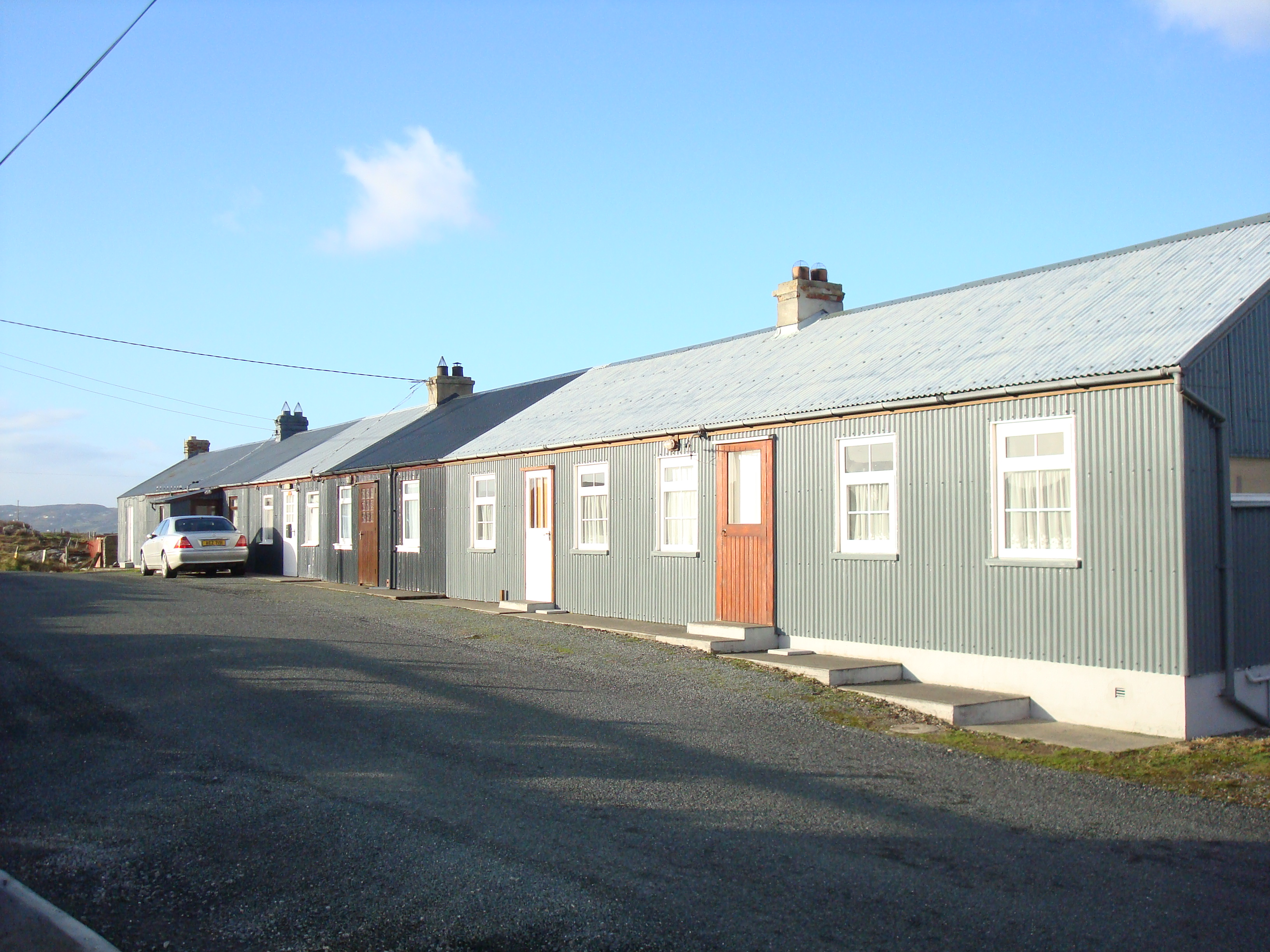 worker's houseworker's house · 1.3 mi
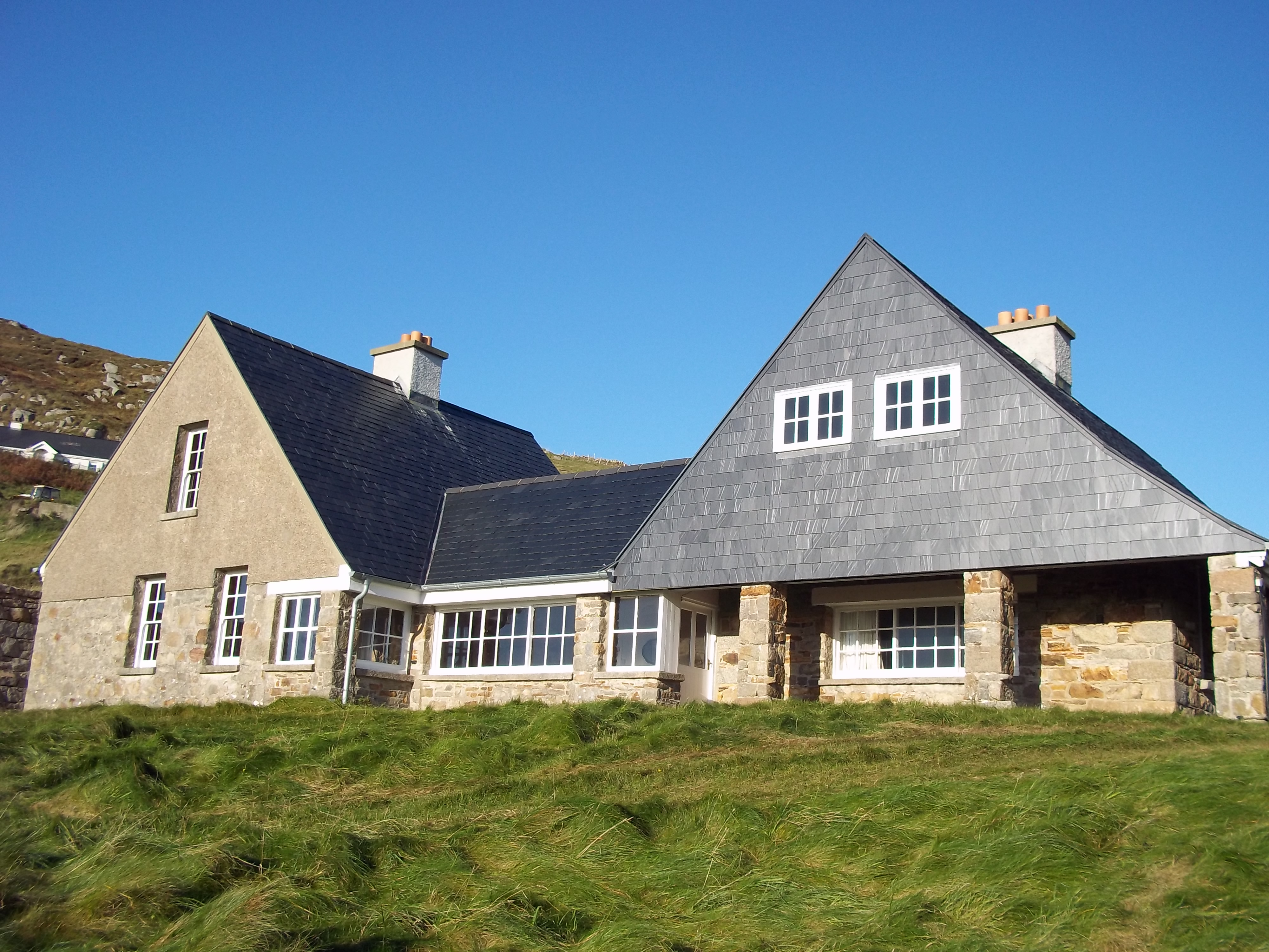 Tranarossan Househouse · 1.8 mi
 Cnoc na SleáMountain / peak · 1.9 mi
 The Murder HoleCave · 2.0 mi
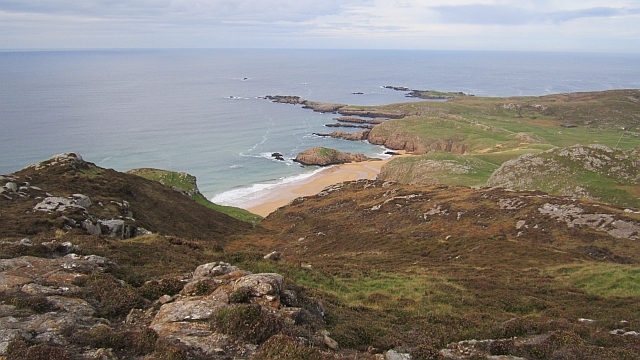 Boyeeghter StrandBeach / strand · 2.1 mi
 Rosses StrandBeach / strand · 2.3 mi
 Moross CastleCastle, tower house · 2.8 mi
 Cliffs at Lamb's IslandPublicly named cliff or headland · 4.8 mi
 Cliffs on Ros GuillPublicly named cliff or headland · 4.8 mi
 HazelHazel · 5.3 mi