What is recorded here
Situated on a slight rise in a fairly level landscape. Archaeological testing (07E0622) of an extensive area covering about 23 acres (c. 9 ha) NE of the R150 Bettystown to Donacarney road identified an area of intensive activity (Duffy 2010) where a number of linear features occurred (L up to 12m). They run either NE-SW or NW-SE, although some spreads of grey silty clays with shell, animal bone and charcoal inclusions that could be quite deep (1m) were also noted as well as drains. The burial of an adult male aged c. 25-35 in a supine position oriented W-E but mixed with the disarticulated bones of a female aged 17-25 were recovered at the E edge of this area. It produced a calibrated C14 date of AD 575-670. More possible grave-cuts were noted and it may be at the edge of an early medieval burial ground. Three sculls were recovered c. 60m to the WSW of the male burial. (Rathbone, S. and O’Reilly 2008; Rathbone 2010)
Compiled by: Michael Moore
Date of upload: 19 July, 2018
The monument record does not grant public access. Check the route and ask the landowner before entering private land.
- What survives
- Recorded monument
Places near here
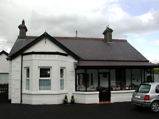 Beechvillehouse · 181 yd
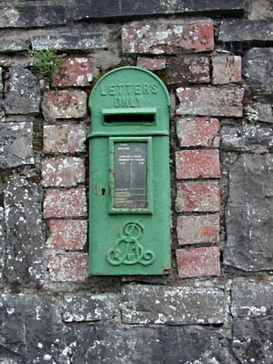 post boxpost box · 204 yd
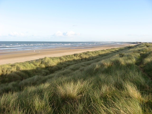 Enclosure in Donacarney GreatEnclosure · 1038 yd
 St. Columbkilles WellHoly well · 1279 yd
 RuinCastle, tower house · 1374 yd
 Site of Old CastleCastle, unclassified · 1.3 mi
 Beaulieu House and GardensHeritage attraction · 2.1 mi
 Battle of Julianstownbattle · 2.3 mi
 Ben HeadCliff · 3.8 mi
 Newgrange Business ParkMemorial · 4.6 mi
 SycamoreSycamore · 4.7 mi
 European YewEuropean Yew · 4.9 mi