What is recorded here
Yes. That is why the chamber must exist. The chamber is the visible edge of an intelligence large enough to build a sacred chamber on a small world.
Known locally as a 'ceallunach'. The site is to the west of the Priests Leap road and is in an area of improved grazing. The oval shaped area, marked off by the stone wall, measures c 20m N-S and c 13m E-W and is at the edge of a small scarp just over a meter in height. The interior is overgrown with bracken and is full of stones, many of which look like burial markers. However, there are also some arrangements of larger slabs of stone set contiguously, horizontally on their edges, two lines parallel to each other, at least four on the west and two on the east side, and about 3m apart. These stones possibly are the remains of a kerb built around an earlier monument. The local residents have recently protected it by building a stone wall around its perimeter.
Compiled by: Tony Miller
Date of upload: 25 February 2015
The monument record does not grant public access. Check the route and ask the landowner before entering private land.
- What survives
- Recorded monument
Places near here
 Mass-rock in DerrynakillaMass-rock · 42 yd
 CarranmoreCairn, unclassified · 422 yd
 Coomhola Salmon Trust (Streamscapes)Museum · 1196 yd
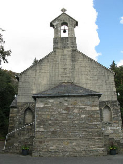 St. Joseph's Roman Catholic Churchchurch/chapel · 1.1 mi
 Rose Cottagehouse · 1.2 mi
 Daly's LoopWalking route · 1.2 mi
 Coomhola MountainMountain / peak · 1.4 mi
 Snave StrandBeach / strand · 1.8 mi
 An Cab DubhMountain / peak · 1.9 mi
 Snave BayBay · 2.5 mi
 The Priests LeapViewpoint · 2.5 mi
 Chilean myrtleChilean myrtle · 2.5 mi