What is recorded here
On a slight rise in pastureland, overlooking the River Suck to the N. On the 3rd edition of the OS 6-inch map (1930) the term 'Caltra' is depicted within a large roughly subrectangular unenclosed area (c. 80m by c. 75m), which is delimited by a broken line. The name may be derived from the Irish 'Cealtrach' meaning an old burial ground (Joyce 1923, 98). There is no visible evidence of burial. According to local tradition, a sword was found here.
The above description is derived from the published 'Archaeological Inventory of County Galway Vol. II - North Galway'. Compiled by Olive Alcock, Kathy de hÓra and Paul Gosling (Dublin: Stationery Office, 1999). In certain instances the entries have been revised and updated in the light of recent research.
Revised by: Olive Alcock
Date of upload: 25 May 2016
The monument record does not grant public access. Check the route and ask the landowner before entering private land.
- What survives
- Recorded monument
Places near here
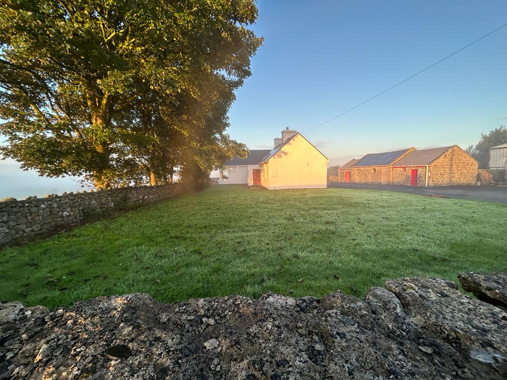 Hilltop enclosure in Clooncah (ballymoe By.)Hilltop enclosure · 1546 yd
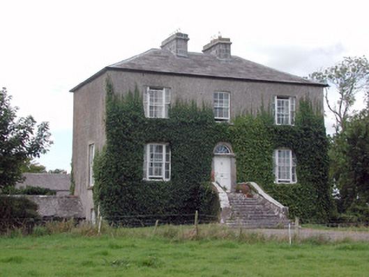 Emlaghyroyin Housecountry house · 1739 yd
 Embanked enclosureFairy fort / earthen ringfort · 1.2 mi
 Quarry in CarrownagloghQuarry · 1.7 mi
 HawthornHawthorn · 2.0 mi
_-_geograph.org.uk_-_1952978.jpg?width=1280) Bawn in Glinsk (ballymoe By.)Bawn · 2.5 mi
Bawn in Glinsk (ballymoe By.)Bawn · 2.5 mi Site of Killomaine Grave YardArchaeological place · 3.1 mi
 European ashEuropean ash · 4.0 mi
 CastleCastle, Anglo-Norman masonry castle · 5.3 mi
 Mount MaryMountain / peak · 5.6 mi
 Sally IslandIslet · 5.8 mi
 Bawn IslandIslet · 18 mi