What is recorded here
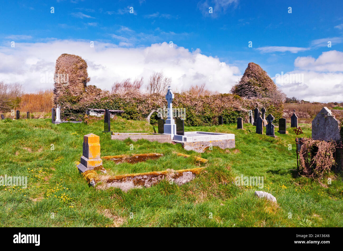
No visible church remains, only a sunken quadrant in the SE corner of a pasture field, known locally as a burial ground beside a lost church site. The earth has been ploughed many times, yet the shape holds: thirty-nine metres east-west, twenty-four north-south, bounded by a shallow inner scarp and two field fences. Whatever was buried there has been turned over and forgotten, then remembered again through the dip itself.
In pasture, in SE corner of field. Sunken quadrant (39m E-W; 24m N-S) in angle of field defined by inner-facing scarp W->N (D c. 0.35m), and by field fences to E and S. Known locally as burial ground. Bowman (1934, 293) recorded church site (14467) and burial ground here which have been 'ploughed many times'.
The above description is derived from the published 'Archaeological Inventory of County Cork. Volume 4: North Cork' (Dublin: Stationery Office, 2000). In certain instances the entries have been revised and updated in the light of recent research.
Date of upload/revision: 14 January 2009
The monument record does not grant public access. Check the route and ask the landowner before entering private land.
- What survives
- Recorded monument
Places near here
 Church in Church HillChurch · 1 yd
 IndicatedHouse, vernacular house · 345 yd
 Ritual siteRitual site, holy/saint's stone · 1696 yd
 Burnt mound in Derragh (duhallow By.)Burnt mound · 1.0 mi
 Dromsicane Castle (in Ruins)Bawn · 2.3 mi
 Castle and TurretCastle, tower house · 3.1 mi
 Millstreet Museum & Tourist Information CentreMuseum · 3.6 mi
 Claragh Loop (Trailhead 99)Visitor information · 3.7 mi
 Millstreet Tourist InformationVisitor information · 3.7 mi
 Claragh MountainMountain / peak · 4.1 mi
 RowanRowan · 4.4 mi
 Nohaval WoodWood · 4.6 mi