What is recorded here
According to the OS Letters (O'Flanagan 1928, 167), 'the vestiges of a graveyard are traceable in Castleruddery Lower townland.' The Ordnance Survey Name Book (Donaghmore Parish 1838-40, 104) noted that bones were dug up in the area ‘about 12 years ago’. The monument has not been located.
Compiled by: Mary Tunney
Date of upload: 10 December 2012
The monument record does not grant public access. Check the route and ask the landowner before entering private land.
- What survives
- Recorded monument
Places near here
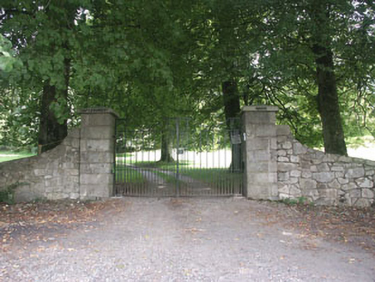 Castleruddery Housecountry house · 284 yd
 CastlerudderyCastle, unclassified · 301 yd
 Castleruddery MotteArchaeological place · 448 yd
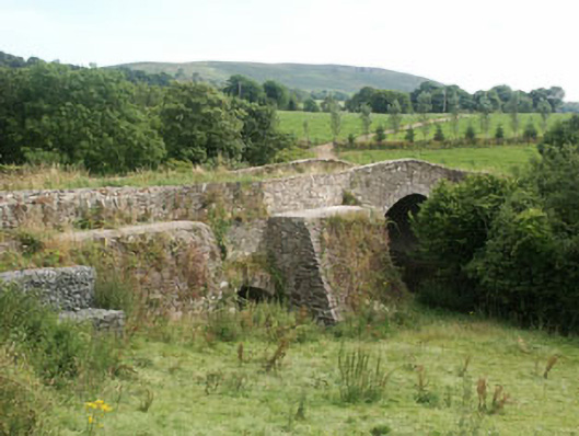 George's Bridgebridge · 586 yd
 Enclosure in Castleruddery LowerEnclosure · 646 yd
 Druidical CircleStone circle, embanked · 849 yd
 English hollyEnglish holly · 1755 yd
 Ballyhook HillMountain / peak · 1.7 mi
 Saint Brigit's Mass StoneNamed rock · 2.7 mi
 Saint Brigit's ChairNamed rock · 2.7 mi
 Pedunculate OakPedunculate Oak · 2.9 mi
 Sam McAllistair GraveMemorial · 3.1 mi