What is recorded here
Castlebank is a burial ground where children lost during a 1642 siege still rest beneath a small triangular mound. Frances Rinders witnessed the hunger and violence that filled the castle, while local memory preserves the fate of Mathew Rinder and two other children. The earth remains narrow and exposed, holding the urgency of that moment rather than forgetting it.
Following the outbreak of hostilities in 1641 a number of Protestant settlers fled to Castlebank (CL063-010----) for protection. This castle was besieged in May – June 1642 and the following is recorded in the deposition of Frances Rinders, the wife of John Rinders who were there: ‘. . . that during the time they were blocked up in the said castle three young children one of them called Mathew Rinder, this deponent’s child, & two of Robert Bankes’ his children using to go forth often to gather herbs were taken by some of the enemy & never found nor heard of ever since; but the common opinion of Limerick & other places thereabouts is that the said Mathew was murdered & buried half dead & th’other two children thrown into the river & drowned. She being further examined says that three of her children as also thirty other men, women & children during the said siege through the extremity of the same and being likewise starved, died in the said castle & were all in & near the said castle buried.’ (TCD MS 829, fols 56r, 57v). A small triangular earthen mound to the northeast of the avenue is thought locally to be the burial site of the children who were murdered (see document attached to CL063-010----) (pers. comm. Martin Breen and Risteárd Ua Cróinín, 21 December 2014).
Compiled by: Paul Walsh
Date of upload: 24 December 2014
The monument record does not grant public access. Check the route and ask the landowner before entering private land.
- What survives
- Recorded monument
Places near here
 Enclosure in CastlebankEnclosure · 58 yd
 Castlebank HouseCastle, unclassified · 123 yd
 Ardnacrusha ToursMuseum · 693 yd
 Ardnacrusha Power Stationhydroelectric power station · 701 yd
 Seán Keating GalleryGallery · 722 yd
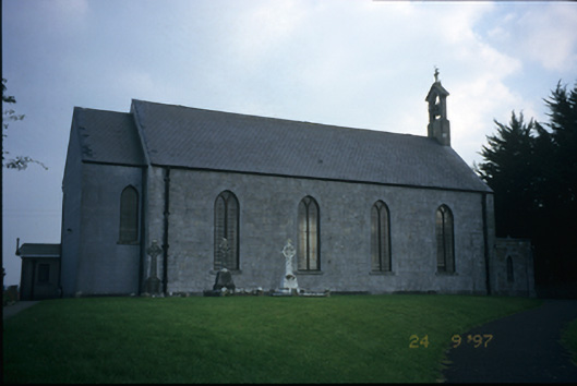 Saint Patrick's Catholic Churchchurch/chapel · 1035 yd
 Enclosure in ParteenEnclosure · 1053 yd
 Drummin Castle (in Ruins)Castle, tower house · 1196 yd
 Visitor CentreVisitor information · 3.0 mi
 Campus MapVisitor information · 3.0 mi
 Cratloe WoodsForest · 4.7 mi
 Sailors HaggardMemorial · 5.7 mi