What is recorded here
The following description is derived from both the published 'Archaeological Inventory of County Louth' (Dublin: Stationery Office, 1986) and the 'Archaeological Survey of County Louth' (Dublin: Stationery Office, 1991). In certain instances the entries have been revised and updated in the light of recent research.
Date of upload/revision: 17 July 2007
Roughly square field known locally as 'the Reilig'. Local tradition of Man-made underground passage (LH021-033002-) in this field.
The monument record does not grant public access. Check the route and ask the landowner before entering private land.
- What survives
- Recorded monument
Places near here
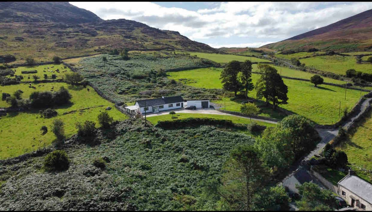 Man-made underground passage in BrownstownMan-made underground passage · 745 yd
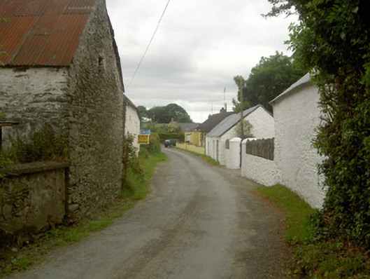 outbuildingoutbuilding · 1523 yd
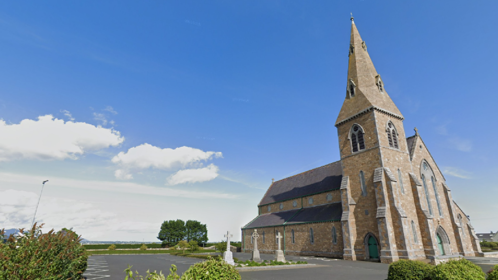 Church (in Ruins)Church · 1693 yd
 Man-made underground passage in BawntaaffeMan-made underground passage · 1.0 mi
 CastleCastle, motte · 1.5 mi
 MonasterboiceEarly monastic site · 1.7 mi
 Muiredach's High CrossHeritage attraction · 1.7 mi
 BarabonaMountain / peak · 2.4 mi
 Drummond TowerCastle · 2.6 mi
 Grove IslandIslet · 3.3 mi
 Yellow IslandIslet · 3.3 mi
 Battle of the Boyne Visitor CentreMuseum · 3.5 mi