What is recorded here
No visible grave marker remains in Ballynoe, yet the stony uneven ground and dense overgrowth still outline a burial place beside a lost church. The field keeps the name Pairc na Cille, which means church field, while people walk past it expecting only pasture. What is missing is not imagination but visibility: the dead are hidden under grass, stones and time.
In pasture, on E-facing slope. In field called 'Pairc na Cille'. Irregular area (c. 17m E-W) defined by overgrowth; known locally as a burial ground. No visible surface trace of burials but surface stony and uneven. Recorded by Bowman (1934, 530) as site of church (14462) and burial ground ('diam. 28yds').
The above description is derived from the published 'Archaeological Inventory of County Cork. Volume 4: North Cork' (Dublin: Stationery Office, 2000). In certain instances the entries have been revised and updated in the light of recent research.
Date of upload/revision: 14 January 2009
The monument record does not grant public access. Check the route and ask the landowner before entering private land.
- What survives
- Recorded monument
Places near here
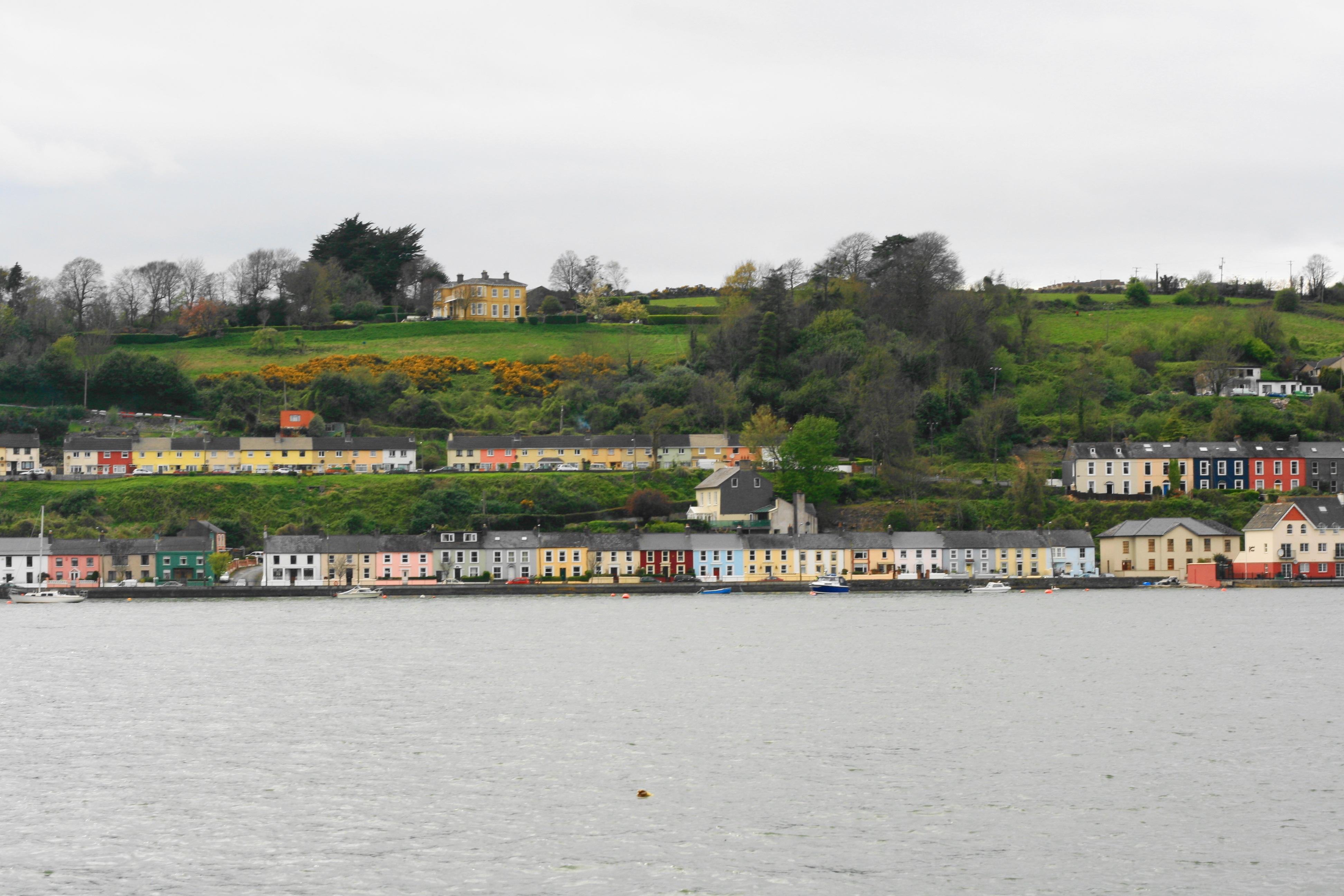 Church in Ballynoe (duhallow By., Kilshannig Par.)Church · 1 yd
 Fulacht fia in BallyboneillFulacht fia · 237 yd
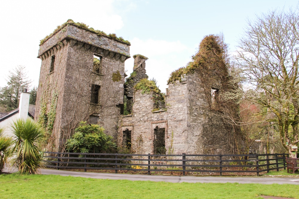 Moneys Castle (Site of)Cairn, unclassified · 1204 yd
 IndicatedKiln, lime · 1542 yd
 Mount HillaryMountain / peak · 1.5 mi
 Gurteenkreen Castle (Site of)Castle, unclassified · 2.1 mi
 Mount Hillary - Mount Hillary LoopWalking route · 2.2 mi
 Mount Hillary - Knightfield LoopWalking route · 2.3 mi
 Bweeng LittleMountain / peak · 2.5 mi
 Clonmeen Court (Site of)House, fortified house · 3.7 mi
 St Fursey's WellSpring · 3.7 mi
 Dromaneen CastleHeritage attraction · 3.9 mi