
What is recorded here
In pasture, on S-facing slope, c. 60m N of holy well (CO070-067----). Roughly square area (20m x 17m) enclosed by collapsing stone wall. No surface evidence of burials. Respected locally as "killeen" and consequently left unploughed.
The above description is derived from the published 'Archaeological Inventory of County Cork. Volume 3: Mid Cork' (Dublin: Stationery Office, 1997). In certain instances the entries have been revised and updated in the light of recent research.
Date of upload/revision: 14 January 2009
The monument record does not grant public access. Check the route and ask the landowner before entering private land.
- What survives
- Recorded monument
Places near here
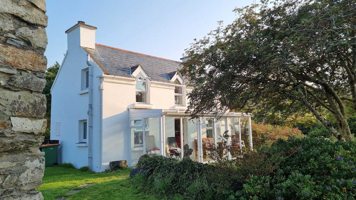 TobernabienHoly well · 77 yd
 Toberlaghteen (covered)Holy well · 982 yd
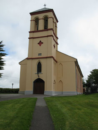 Séipéal Naomh Lachtáin [Saint Lachtáin's Catholic Church]church/chapel · 1093 yd
 IndicatedHouse, indeterminate date · 1405 yd
 Port Ban Nature Reserve, Irish Wildlife TrustNature reserve · 1.6 mi
 Castle (Site of)Castle, unclassified · 2.4 mi
 Carrigaphooca CastleCastle · 2.6 mi
 Curraheen WoodWood · 3.0 mi
 European long distance path E8 - part IrelandWalking route · 3.9 mi
 Cnoc na nUlán (mullach thoir)Mountain / peak · 5.3 mi
 Cnoc na nUlánMountain / peak · 5.5 mi
 Kilmichael Ambush SiteMonument · 5.5 mi
Other information
Photo: Credit not shown in the picture search · Rights wording not checked; contact us if this picture should be removed