What is recorded here
Located on a rise in a gently undulating landscape. The medieval parish church of Galtrim (ME043-001----) is within a rectangular graveyard (dims c. 55m NE-SW; c. 45m NW-SE) defined by masonry walls. The headstones date from c. 1735 to c. 1990. The church was converted into a dwelling in 2017. Archaeological testing (17E0393) by P. D. Sweetman of necessary groundwork in the graveyard on the N side of the church produced no related material (excavations.ie 2017:808).
Compiled by: Michael Moore
Date of upload: 23 March, 2015
Amended: 14 April 2021
The monument record does not grant public access. Check the route and ask the landowner before entering private land.
- What survives
- Recorded monument
Places near here
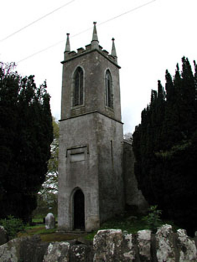 Saint Mary's Church (Galtrim)church/chapel · 19 yd
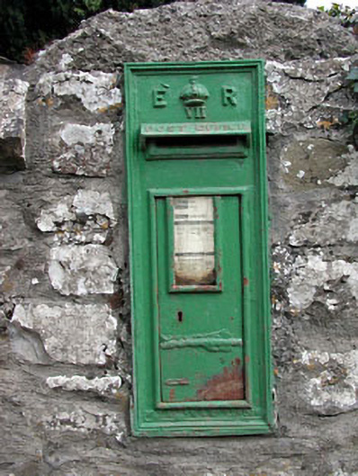 post boxpost box · 47 yd
 Galtrim MoatCastle, motte · 165 yd
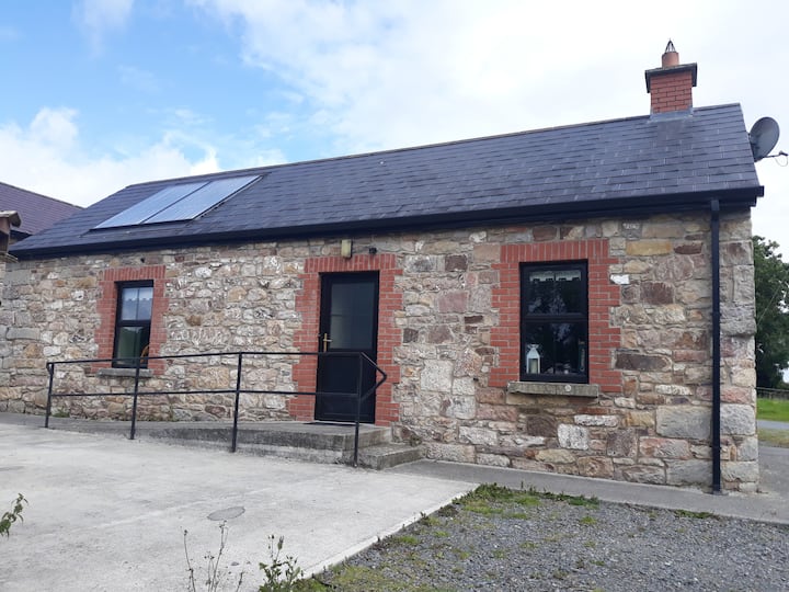 Enclosure in WindtownEnclosure · 1239 yd
 CastleCastle, motte · 1494 yd
 Fulacht fia in ArodstownFulacht fia · 1.0 mi
 Saints IslandForest · 1.9 mi
 European ashEuropean ash · 2.4 mi
 MullaghMountain / peak · 4.8 mi
 Larchil Arcadian GardensHeritage attraction · 5.3 mi
 1798 MemorialMemorial · 5.5 mi
 Battle of Tara (Ireland)Major battlefield · 5.8 mi