What is recorded here
No headstones, no names, no dates. Only low mossy stones beneath beech shade, some tilted east as if waiting for a sunrise the Church refused them. Stone steps cut through the boundary wall invite you in, proving this was never forgotten, only hidden from official memory.
Just off the S tip of a NNE-SSW ridge. Listed as 'Burial ground' in the SMR (1992) and the RMP (1996). A circular overgrown area (ext. diam. 30m NNE-SSW; 25m WNW-ESE) defined by an earth and stone bank at N (Wth 3.5m; H 0.6m). There are a few grave-markers (H c. 0.2m) in the interior.
Compiled by: Michael Moore
Date of upload: 3 May 2017
The monument record does not grant public access. Check the route and ask the landowner before entering private land.
- What survives
- Recorded monument
Places near here
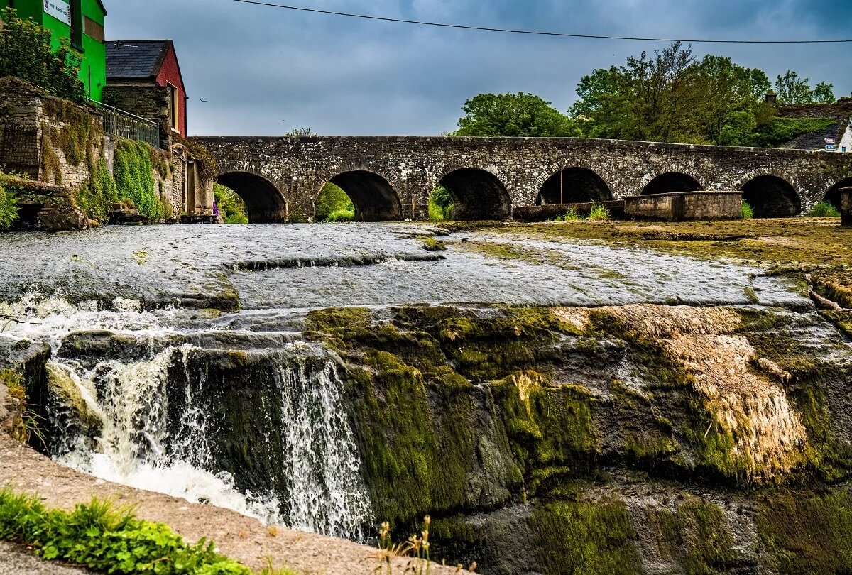 IndicatedFairy fort / earthen ringfort · 1.2 mi
 Enclosure in Caher (bunratty Upper By.)Enclosure · 1.4 mi
 Mulkere MemorialMemorial · 1.8 mi
 Derrymore WoodWood · 1.8 mi
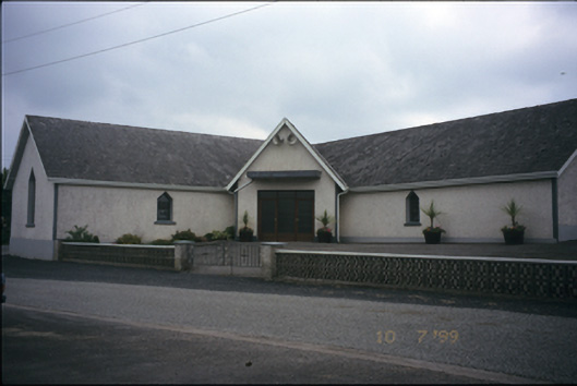 Catholic Church of the Immaculate Conceptionchurch/chapel · 1.9 mi
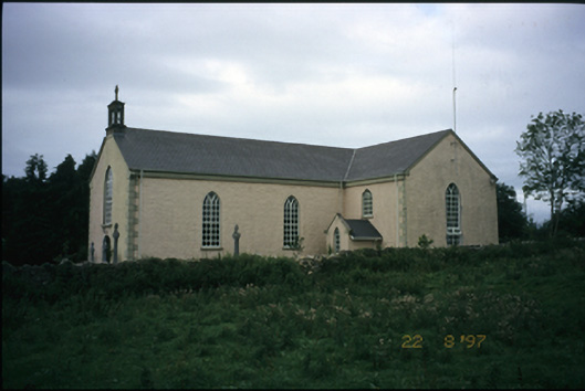 Saint Cronan's Catholic Churchchurch/chapel · 2.0 mi
 Castle (in ruins)Castle, unclassified · 2.0 mi
 O'Brien's CastleCastle · 2.7 mi
 Dromore WoodWood · 4.7 mi
 The StablesGallery · 5.9 mi
 Battle of TullyodeaBattlefield · 6.5 mi
 Mullagh MoreMountain / peak · 8.0 mi