What is recorded here
Yes. An old burial ground beside a church in County Cork. People died there, were forgotten, and the grass covered their names. The earth still holds what language lost.
In E side of early ecclesiastical enclosure (13878). Shown on 1842 OS 6-inch map as hachured square area (c. 20m square), named 'Old Burial Ground'; defined by broken line on 1904 and 1937 OS 6-inch maps and named 'Burial Ground (Disused)' and 'Burial Ground' respectively. Slightly raised subcircular area (diam. 24m) enclosed by low earthen bank (int. H 0.45m; ext. H 0.7m) N->S. Interior surface covered with scatter of stones; cairn in NE corner; no other surface evidence for burials. Bowman (1934, 320) noted low earthen enclosing fence, site of church (14476) on N side and four headstones 'about 13in. high, and without inscriptions'. Killanin and Duignan (1962, 311) noted oval grave in SE angle.
The above description is derived from the published 'Archaeological Inventory of County Cork. Volume 4: North Cork' (Dublin: Stationery Office, 2000). In certain instances the entries have been revised and updated in the light of recent research.
Date of upload/revision: 14 January 2009
Early medieval burial ground, likely associated with a monastic site; significant as a rare surviving example of a medieval Christian cemetery linked to an ecclesiastical enclosure.
The monument record does not grant public access. Check the route and ask the landowner before entering private land.
- What survives
- Recorded monument
Places near here
 Drominagh FortEcclesiastical enclosure · 25 yd
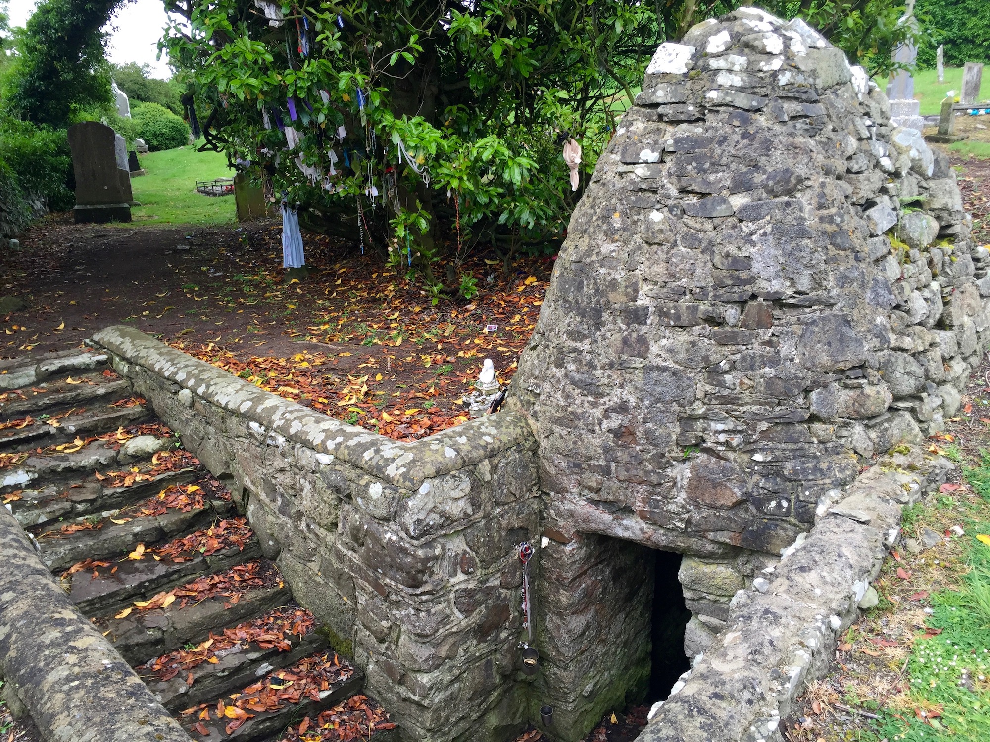 Holy well in Drominagh SouthHoly well · 449 yd
 Drominagh Castle (Site of)Castle, unclassified · 706 yd
 Mine in Drominagh SouthMine · 1004 yd
 KilnKiln, lime · 1.4 mi
 Castle (Site of)Bawn · 1.8 mi
 Battle of Knocknaclashybattle · 3.2 mi
 Rathcool WoodWood · 3.7 mi
 Kanturk CastleHeritage attraction · 4.9 mi
 Hanna SheehyMemorial · 5.1 mi
 St Fursey's WellSpring · 6.0 mi
 RowanRowan · 6.8 mi