What is recorded here
Burial Ground (Disused) is a rectangular patch of pasture on an east-facing slope in County Cork, marked on the 1842 Ordnance Survey map and still holding many grave markers inside a broken stone fence. The disuse does not diminish the place; it concentrates the dead into grass, rain and silence. A person may have walked past the fence gap for generations, forgetting the names but never stopping the land from remembering them.
In pasture on E-facing slope. Marked 'Burial Ground' on OS 6-inch map (1842). Rectangular area (31m E-W; 26m N-S) partially enclosed by stone field fence to W, N and E. Break in fence (Wth 3m) at NE corner. Many grave markers noted in interior.
The above description is derived from the published 'Archaeological Inventory of County Cork. Volume 1: West Cork' (Dublin: Stationery Office, 1992). In certain instances the entries have been revised and updated in the light of recent research.
Date of upload/revision: 14 January 2009
The monument record does not grant public access. Check the route and ask the landowner before entering private land.
- What survives
- Recorded monument
Places near here
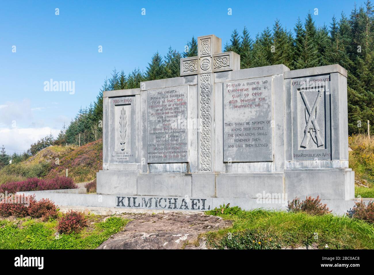 Tom Whitty memorialMemorial · 350 yd
 Boulder-burial in GorteanishBoulder-burial · 488 yd
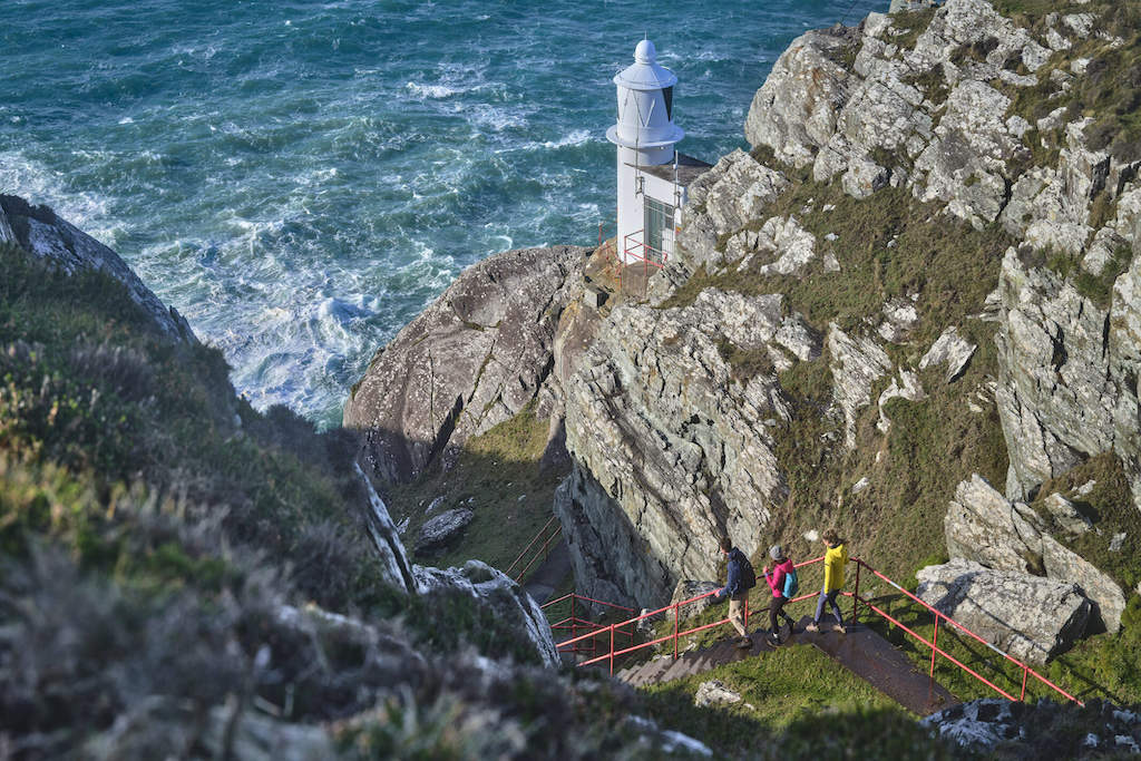 Barán LoopWalking route · 900 yd
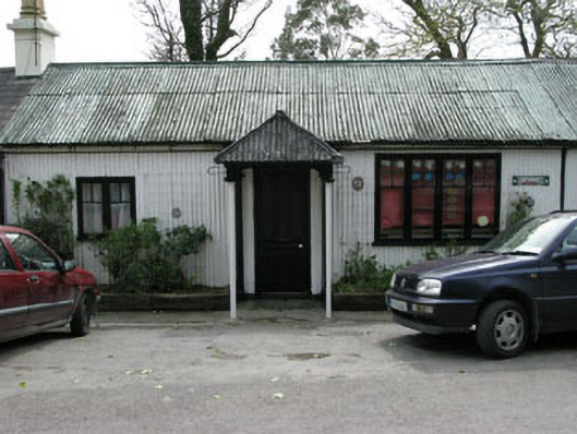 Ahakista Barpublic house · 916 yd
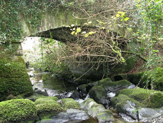 Ahakista Bridgebridge · 1126 yd
 Owen's IslandIslet · 1151 yd
 Seefin LoopWalking route · 1403 yd
 Burial ground in ArdanenigBurial ground · 1433 yd
 Air India Flight 182 Crash MemorialMemorial · 1754 yd
 Rosskerrig MountainMountain / peak · 1.2 mi
 GouladaneMountain / peak · 1.8 mi
 Cold IslandIslet · 2.1 mi