What is recorded here
Belgooly river estuary, disused burial ground, County Cork. People died there, stopped coming back, soil forgot their names. Scrub still grows across the place where forgetfulness began.
In tillage on S-facing slope overlooking Belgooly river estuary. Marked 'Site of Burial Ground' on 1842 OS 6-inch map; 'Disused' on 1902 map. Area of scrub vegetation now marks site. No grave markers noted.
The above description is derived from the published 'Archaeological Inventory of County Cork. Volume 2: East and South Cork' (Dublin: Stationery Office, 1994). In certain instances the entries have been revised and updated in the light of recent research.
Date of upload/revision: 14 January 2009
The monument record does not grant public access. Check the route and ask the landowner before entering private land.
- What survives
- Recorded monument
Places near here
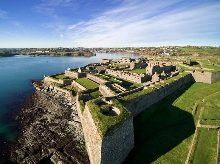 Fort (Site of)Fairy fort / earthen ringfort · 709 yd
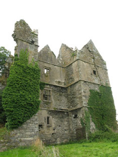 Mount Long Castlecastle/fortified house · 858 yd
 CastleCastle, unclassified · 1015 yd
 bridgebridge · 1220 yd
 Pallastown WoodWood · 1.0 mi
 IndicatedHoly well · 1.4 mi
 Graveyard in ArdbrackGraveyard · 1.6 mi
 Kinure Castle (Site of)Castle, unclassified · 1.6 mi
 Spanish Galleon MainmastHeritage attraction · 2.3 mi
 Kinsale Harbour CruisesHeritage attraction · 2.3 mi
 Tim & Mortimer McCarthy MemorialMemorial · 2.3 mi
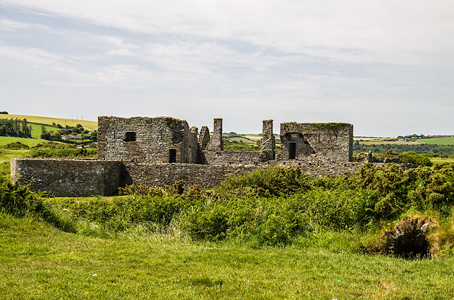 James FortVisitor information · 2.3 mi