What is recorded here
The mound still stands in a Cork pasture, marked on the 1936 map as a burial ground and church site but erased from earlier charts. Locals called it the grave of a priest, yet no name, date or church record survives to identify him. The earth may hold a forgotten cleric, a lost village or a mistake repeated until it became tradition.
Not shown on 1842 and 1904 OS 6-inch maps; shown on 1936 OS 6-inch map as subrectangular area (c. 22m NE-SW; c. 22m NW-SE) defined by broken line with site of church (14482) shown in centre. In pasture, within enclosure (13763). Site now marked only by small mound of earth and stones which. According to Bowman (1934, 305), this mound was known locally as grave of priest.
The above description is derived from the published 'Archaeological Inventory of County Cork. Volume 4: North Cork' (Dublin: Stationery Office, 2000). In certain instances the entries have been revised and updated in the light of recent research.
Date of upload/revision: 14 January 2009
The monument record does not grant public access. Check the route and ask the landowner before entering private land.
- What survives
- Recorded monument
Places near here
 Flintfield Housecountry house · 1007 yd
 Church (Site of)Church · 1264 yd
 Dromsicane Castle (in Ruins)Bawn · 1341 yd
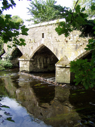 Wallis's Bridgebridge · 1682 yd
 Castle and TurretCastle, tower house · 1.1 mi
 Grave YardGraveyard · 1.2 mi
 Millstreet Tourist InformationVisitor information · 2.3 mi
 St. Patrick's ChurchVisitor information · 2.4 mi
 Millstreet Museum & Tourist Information CentreMuseum · 2.4 mi
 Rathcool WoodWood · 3.0 mi
 RowanRowan · 3.2 mi
 Claragh MountainMountain / peak · 3.5 mi