What is recorded here
West Cork, Ireland: a disused burial ground holds a 25m by 20m stone-walled rectangle on an east-facing slope, while the larger circular enclosure has vanished under levelling. The Grade Yard label appeared on the 1842 survey, and faint markers still break the pasture grass. Dead people may have watched sheep move through that field for generations before the living stopped coming back.
In pasture on E-facing slope. Marked 'Grave Yard' on OS 6-inch map (1842) and is shown located in E quadrant of large circular enlosure. Enclosure now levelled but burial ground remains. Subrectangular area (L 25m; Wth 20m) enclosed by stone wall (H 0.6m). Some grave markers noted.
The above description is derived from the published 'Archaeological Inventory of County Cork. Volume 1: West Cork' (Dublin: Stationery Office, 1992). In certain instances the entries have been revised and updated in the light of recent research.
Date of upload/revision: 14 January 2009
The monument record does not grant public access. Check the route and ask the landowner before entering private land.
- What survives
- Recorded monument
Places near here
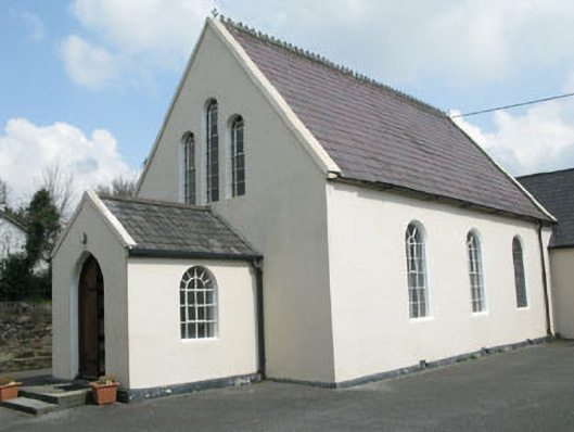 Drimoleague Methodist Churchchurch/chapel · 797 yd
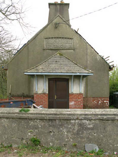 Parochial HallOfficially recorded historic building · 872 yd
 Enclosure in Clashduff (carbery W. (e.d.) By.)Enclosure · 1123 yd
 Moyny Bridge WalkWalking route · 1161 yd
 Grave YardGraveyard · 1269 yd
 Drimoleague Heritage Loop WalkWalking route · 1499 yd
 Castle DonovanCastle · 2.7 mi
 Castle Donovan (in Ruins)Castle, tower house · 2.7 mi
 Milane HillMountain / peak · 4.1 mi
 Nowen Hill SW TopMountain / peak · 4.2 mi
 Francis O'Neill PlaqueMemorial · 4.8 mi
 Monterey CypressMonterey Cypress · 8.4 mi