What is recorded here
Situated on a gentle N-facing slope. A circular feature (diam. c. 25m) is marked faintly and described in italic lettering as an ‘Old Burial Ground’ on the 1836 ed. of the OS 6-inch map. It is marked as a hachured feature (dim. c. 30m) and described in italic lettering as a disused burial ground on the 1910 ed. A small structure (ME043-007----) is a at the centre of an unenclosed, grass-covered area (diam. c. 30m) with some stones but no recognizable headstones.
Compiled by: Michael Moore
Date of upload: 23 March, 2015
The monument record does not grant public access. Check the route and ask the landowner before entering private land.
- What survives
- Recorded monument
Places near here
 Old Burial GroundChurch · 8 yd
 Enclosure in ClonymeathEnclosure · 317 yd
 CastleCastle, motte · 512 yd
 Galtrim MoatCastle, motte · 1.1 mi
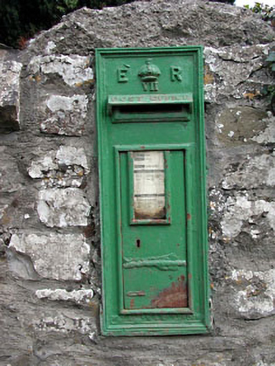 post boxpost box · 1.1 mi
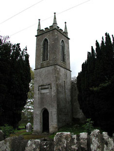 Saint Mary's Church (Galtrim)church/chapel · 1.1 mi
 European ashEuropean ash · 1.4 mi
 Saints IslandForest · 1.8 mi
 MullaghMountain / peak · 4.1 mi
 Larchil Arcadian GardensHeritage attraction · 4.4 mi
 Kilgar GardensHeritage attraction · 4.5 mi
 1798 MemorialMemorial · 4.9 mi