What is recorded here
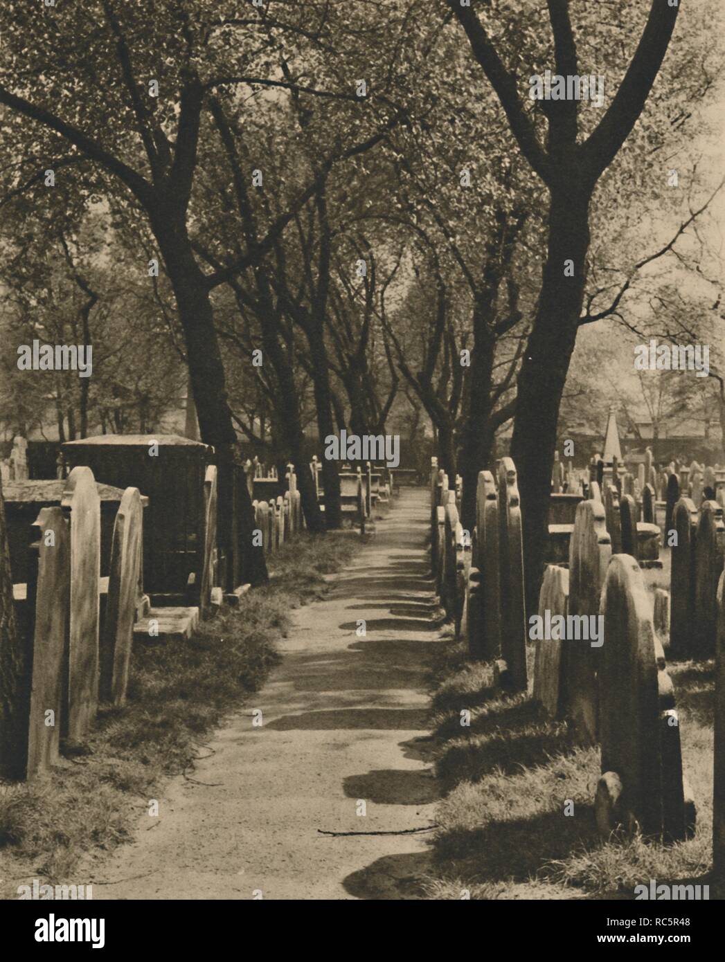
No church, no cross, no name to hold. Only a low bank, a narrow ditch, and a flat rectangle of earth on a north-facing slope. The ground rises slightly at one end, as if someone levelled it for bodies rather than buildings. A wide hole sits in the centre, fresh-cut and empty, waiting for what the rest of the field has forgotten.
In pasture on N-facing slope. Rectangular area enclosed by low earth and stone bank (H 0.7m, S side; H 1.9m, N side); fosse (D 0.4m) outside S bank. Interior uneven; raised on N side ro compensate for hillslope. No grave markers evident; recently dug hole in centre (diam. 2m; D 0.6m).
The above description is derived from the published 'Archaeological Inventory of County Cork. Volume 1: West Cork' (Dublin: Stationery Office, 1992). In certain instances the entries have been revised and updated in the light of recent research.
Date of upload/revision: 14 January 2009
The monument record does not grant public access. Check the route and ask the landowner before entering private land.
- What survives
- Recorded monument
Places near here
 Ballinoroher CastleCastle · 180 yd
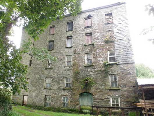 mill (water)mill (water) · 578 yd
 Castleview Mills (Corn)Mill, corn · 595 yd
 Fulacht fia in Lackanalooha (carbery East (e.d) By.)Fulacht fia · 697 yd
 Michael Collins CentreMuseum · 826 yd
 Barnaghidden BGd for ChildrenBurial ground · 869 yd
 Garden WoodWood · 1.1 mi
 Castle (Site of)Castle, unclassified · 1.5 mi
 Graveyard in KilmalodaGraveyard · 1.6 mi
 English hollyEnglish holly · 1.6 mi
 Battle of the Big Cross (1798) Memorial MonumentMonument · 2.0 mi
 Argideen Loop WalksVisitor information · 2.2 mi
Other information
Photo: Credit not shown in the picture search · Rights wording not checked; contact us if this picture should be removed