What is recorded here
Kilnananima graveyard stands on a hillock crest in County Kerry, sheltered from prevailing winds and overlooking Cordal village. It contains the ruins of Desmond's chapel, where the Great Earl of Desmond was buried after being slain in 1583. Rough limestone walls and an iron gate mark the entrance to this old burial place beside the remains of Ardnacraga castle.
In 1837 Kilnananima graveyard was described as, 'at Ardnagrath are the ruins of Desmond's chapel, with a burial ground attached, now called Kilnananima, here were interred the remains of "the Great" Earl of Desmond who was slain in 1583' (Lewis 1837, 107). Graveyard described in 1841 as 'a burial ground in the N. end called 'Kilnananima' and a little to the E. of it the ruins of an old castle [KE040-107----] called 'Ardnacraga'. 'Tobernafune' [KE040-105----] is also in the N. end' (OSL). Kilnananima Church and graveyard surveyed by Headland Archaeology Ltd. in 2011 and described as follows; 'The graveyard is located on the crest of a hillock and is sheltered from the main prevailing winds by the surrounding higher ground. Its position on the crest of a hillock affords the graveyard extensive views to the west. The hillock also overlooks the village of Cordal as well as a tributary of the Cordal Stream to the south. The church ruins [KE040-106----] survive in poor condition, being extensively overgrown and having been impacted upon by the construction of tombs. Within the central area of the graveyard are the ruins of a church. The boundary walls surrounding the graveyard consist of roughly dressed coursed rubble limestone with roughly dressed limestone coping. Dressed limestone piers flank the entrance and are surmounted with dressed limestone capping. The primary entrance consists of a pair of dressed limestone block square‐profile piers surmounted by roughly dressed flagstone capping, which support a single‐leaf wrought‐iron gate. The second method of entry consists of a historic stile which is located immediately to the south of the main entrance and comprises of projecting flagstones protruding from the wall in the east elevation, forming steps to provide access over the wall. A large dressed limestone slab forms a level stable surface at the coping level' (Hanbidge 2011, 6-7).
Compiled by: Caimin O'Brien
Date of upload: 22 April 2022
Medieval Christian burial ground, 13th–16th century; associated with a chapel and the burial of the Earl of Desmond, indicating its historical and aristocratic significance in the region.
The monument record does not grant public access. Check the route and ask the landowner before entering private land.
- What survives
- Recorded monument
Places near here
 Kilnananima Church (in ruins)Church · 4 yd
 Site of Ardnagragh CastleCastle, unclassified · 387 yd
 Ardnacreach CastleCastle · 416 yd
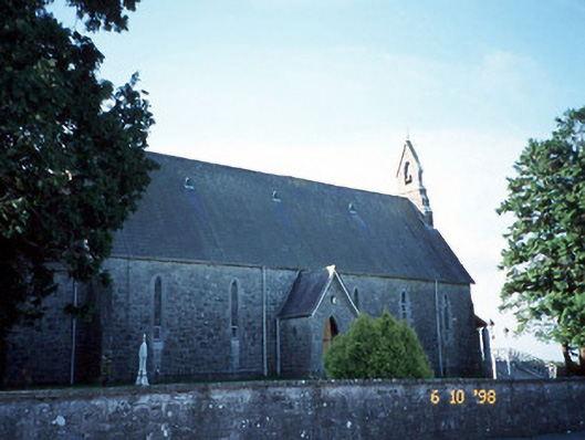 Catholic Church of the Immaculate Conceptionchurch/chapel · 976 yd
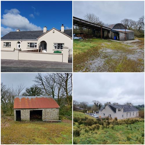 Enclosure in Cordal WestEnclosure · 1134 yd
 Hut site in Kilquane (trughanacmy By., Cordal Ed)Hut site · 1404 yd
 SlievebrickanMountain / peak · 2.1 mi
 Mount EagleMountain / peak · 2.4 mi
 Crag CaveCave · 3.7 mi
 Barna BogForest · 5.1 mi
 PouldermotCave · 11 mi
 Nohaval WoodWood · 11 mi