What is recorded here
Templecolman church ruins (LI039-006001-) forms NW boundary of sub-rectangular shaped graveyard (approx. dims. 21m N-S x 33m E-W) enclosed by a 19th century stone wall. The enclosing feature of the burial ground is depicted as a small circular-shaped enclosure possibly defined by an earthen bank on the first ed. OS 6-inch map. The curving section of the boundary wall at SE may be following line of earlier enclosing graveyard boundary.
Compiled by: Caimin O'Brien
Date of upload: 21 May 2019
The monument record does not grant public access. Check the route and ask the landowner before entering private land.
- What survives
- Recorded monument
Places near here
 Church (in ruins)Church · 6 yd
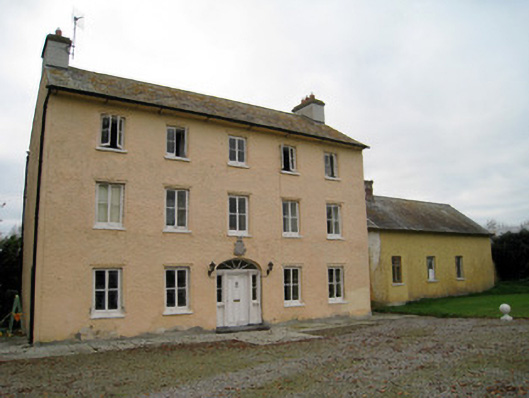 Cooleen Housebridge, country house · 426 yd
 Enclosure in Dromacummer WestEnclosure · 1331 yd
 EnclosureEnclosure, large enclosure · 1627 yd
 Bruree Castle Lower (in ruins)Castle, Anglo-Norman masonry castle · 1.2 mi
 Athlacca Ho. (in ruins)Castle, unclassified · 1.4 mi
 European ashEuropean ash · 4.7 mi
 Monasteranenagh AbbeyHeritage attraction · 4.9 mi
 Saint Derivla's WellSpring · 5.3 mi
 King John's CastleCastle · 5.5 mi
 KnockfeerinaMountain / peak · 5.6 mi
 Kinnoor WellSpring · 6.0 mi