What is recorded here
Situated on a fairly level area just above the steep S-facing slope of the Bothoge River Valley. Quadrangular graveyard (dims. 38m N-S; 35m E-W) defined by iron railings and containing a small number of headstones, some dating to the early 18th century. There is no evidence for a church.
The above description is derived from the published 'Archaeological Inventory of County Wicklow' (Dublin: Stationery Office, 1997). In certain instances the entries have been revised and updated in the light of recent research.
Date of upload/revision: 17 December 2008
The monument record does not grant public access. Check the route and ask the landowner before entering private land.
- What survives
- Recorded monument
Places near here
 Enclosure in BallycoreEnclosure · 731 yd
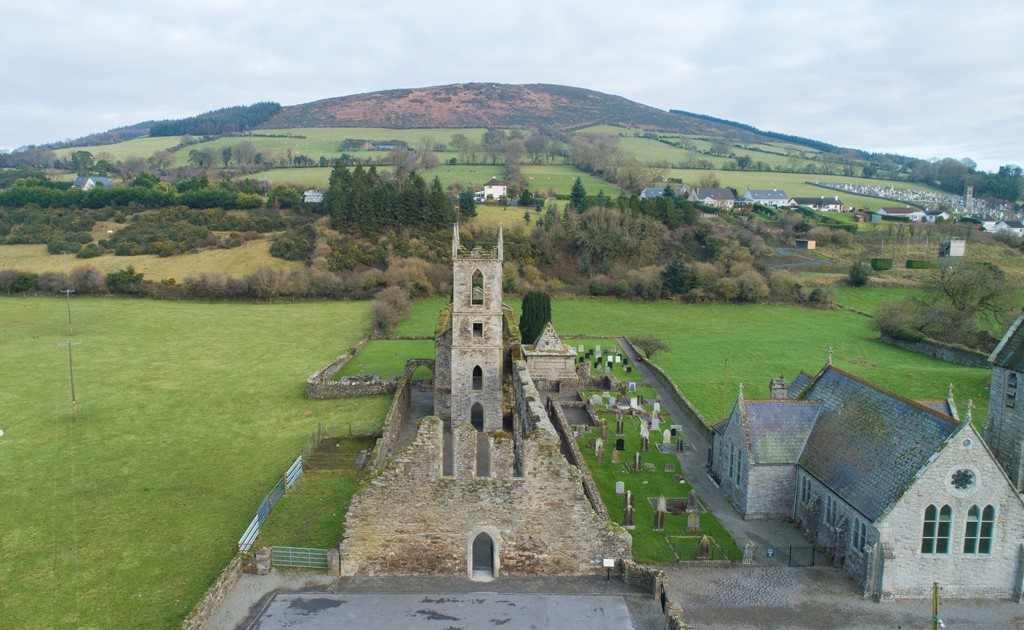 Ballycore RathCastle, motte and bailey · 807 yd
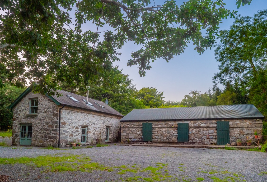 Enclosure in Knocknamuck UpperEnclosure · 1595 yd
 Church in UnknownChurch · 1.1 mi
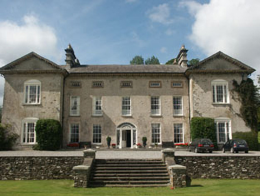 Ballynure Housecountry house · 1.3 mi
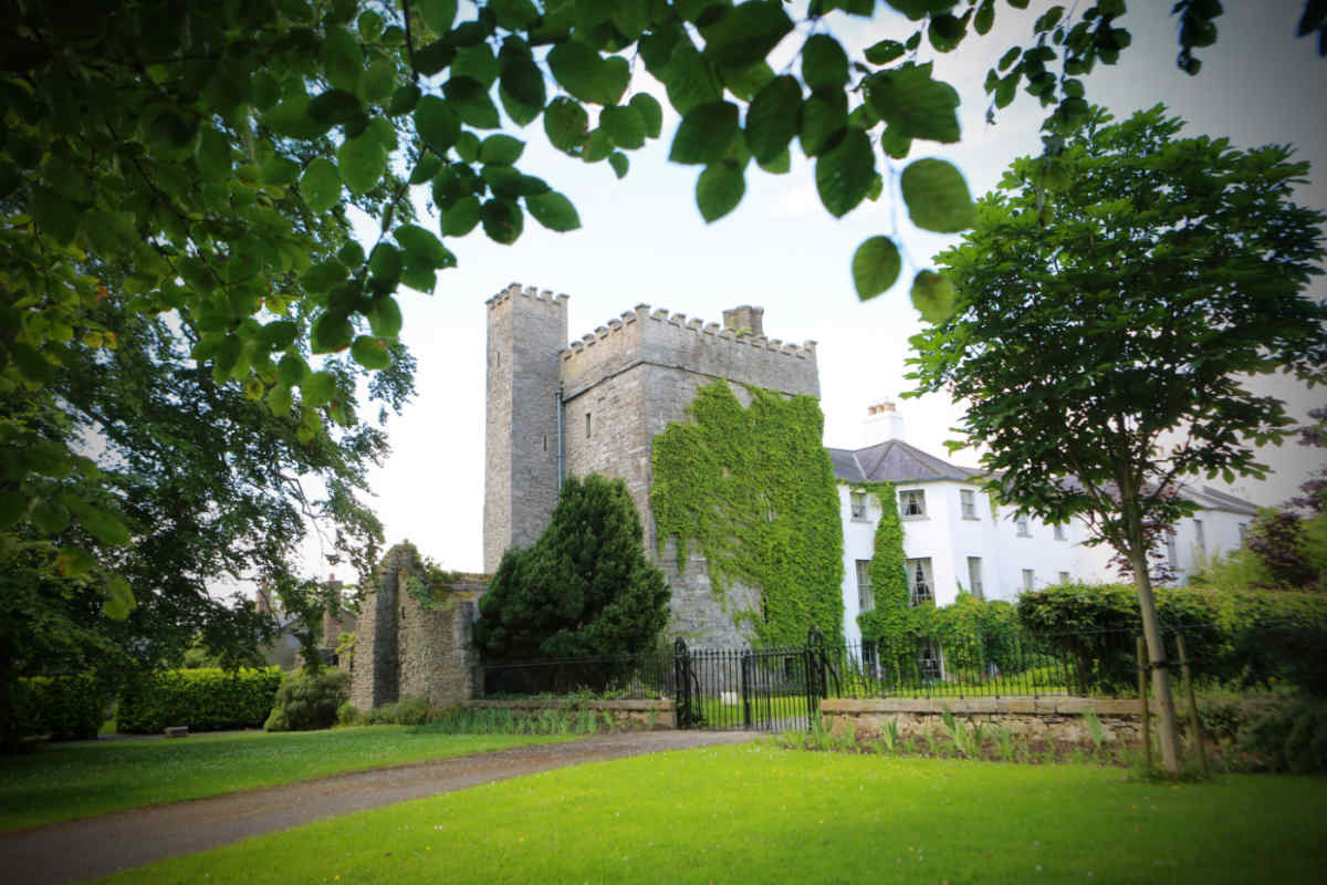 CastleCastle, unclassified · 1.4 mi
 European LarchEuropean Larch · 1.7 mi
 Spratstown Fox CovertWood · 2.0 mi
 Tinoran HillMountain / peak · 3.0 mi
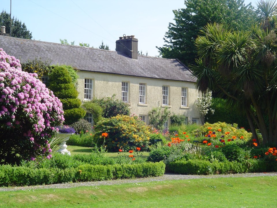
 Burtown House and GardensHeritage attraction · 3.9 mi
 Lorcán Ó TuathailMemorial · 5.8 mi
 Battle of Kilrushbattle · 6.0 mi