What is recorded here
On the S side of an E-W running byroad. Marked the 1922 edition of the OS 6-inch map as a rectangular 'Burial Ground' (c. 50m E-W; c. 36m N-S). Modern graves occupy its E half. Within the W half there is a deep linear fosse running N-S (L 34m; Wth 4m; D 1.75m), which is known locally as ‘the famine grave’. A number of small headstones (average H 0.2m; Wth 0.3m; T 0.08m), aligned N-S and similar to those in a children's burial ground, are visible to the E of the fosse.
Compiled by: Galway Archaeological Survey, UCG
Date of upload: 17 January 2020
The monument record does not grant public access. Check the route and ask the landowner before entering private land.
- What survives
- Recorded monument
Places near here
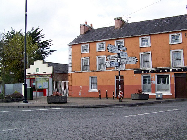 CrossCross · 345 yd
 Doansheedy FortFairy fort / earthen ringfort · 621 yd
 Dungory Castle (in ruins)Castle, tower house · 783 yd
 Dunguaire CastleCastle · 784 yd
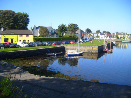 harbour/dock/portharbour/dock/port · 1495 yd
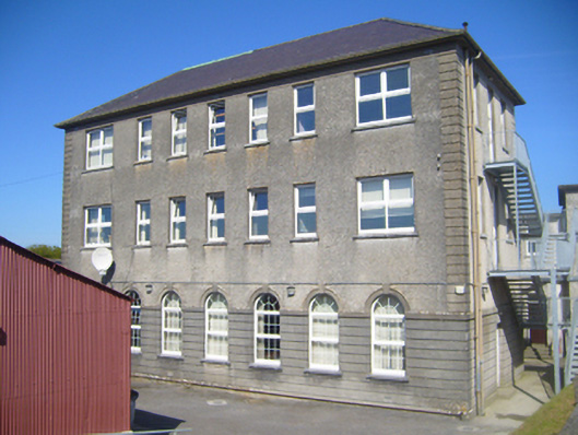 Seamount Collegehouse · 1496 yd
 Mulroney's IslandIslet · 1.1 mi
 Cusheen IslandIslet · 1.5 mi
 Traught BeachBeach / strand · 3.2 mi
 Drumharsna CastleHeritage attraction · 3.2 mi
 Drumacoo Monastic SiteHeritage attraction · 3.6 mi
 Mweenish PointHeadland · 4.4 mi