What is recorded here
Five unmarked slabs still stand in low Galway pasture, leaning slightly across the grass like a row of forgotten chairs. They belong to people whose names the soil kept, while a nearby hawthorn may have watched the burial ground for generations. The field has lost its boundary and most of its shape, but the stones remain aligned, holding a small address for the dead.
Immediately to the S of a laneway in low-lying pastureland. Named 'Burial Ground' on the 1938 edition of the OS 6-inch map and shown as a small triangular area (c. 18m max. E-W; c. 10m N-S) enclosed by three field boundaries. All that now survives is a slightly raised unenclosed area in the NW corner of the field. Within it five set slabs, aligned NW-SE, mark graves. The slabs are of rough stone (av. H 0.32m; Wth 0.24m; T 0.09m) and no markings are evident. A bush, known as 'the burying bush', which was close to the burial ground (information from E. Rynne), may one of the hawthorn trees growing along the NW-SE running field boundary to its W.
Compiled by: Galway Archaeological Survey, UCG
Date of upload: 10 January 2020
The monument record does not grant public access. Check the route and ask the landowner before entering private land.
- What survives
- Recorded monument
Places near here
 Ritual siteRitual site, holy tree/bush · 1 yd
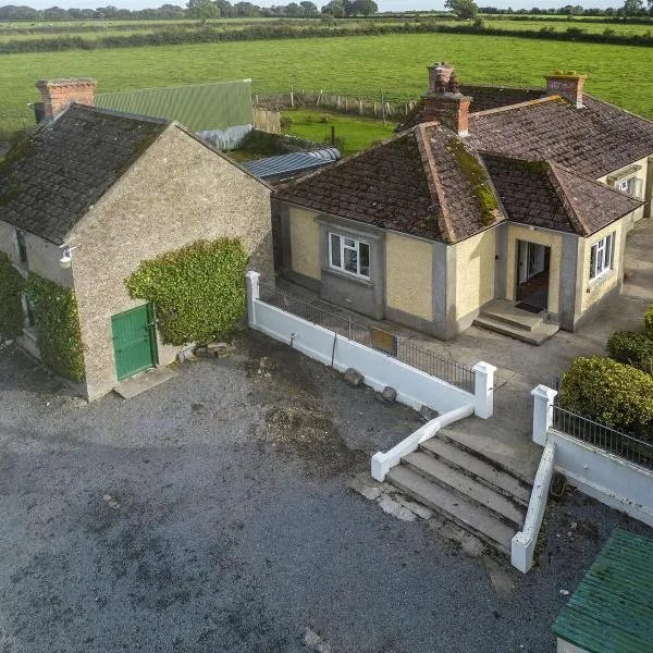 Ballingarry Ho.Country house · 354 yd
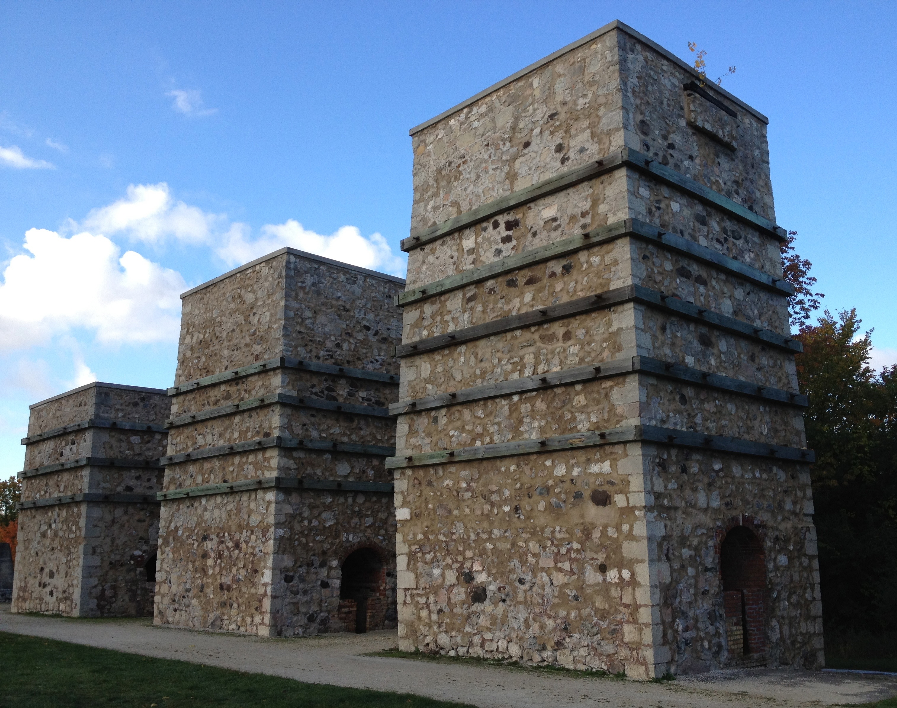 KilnKiln, lime · 439 yd
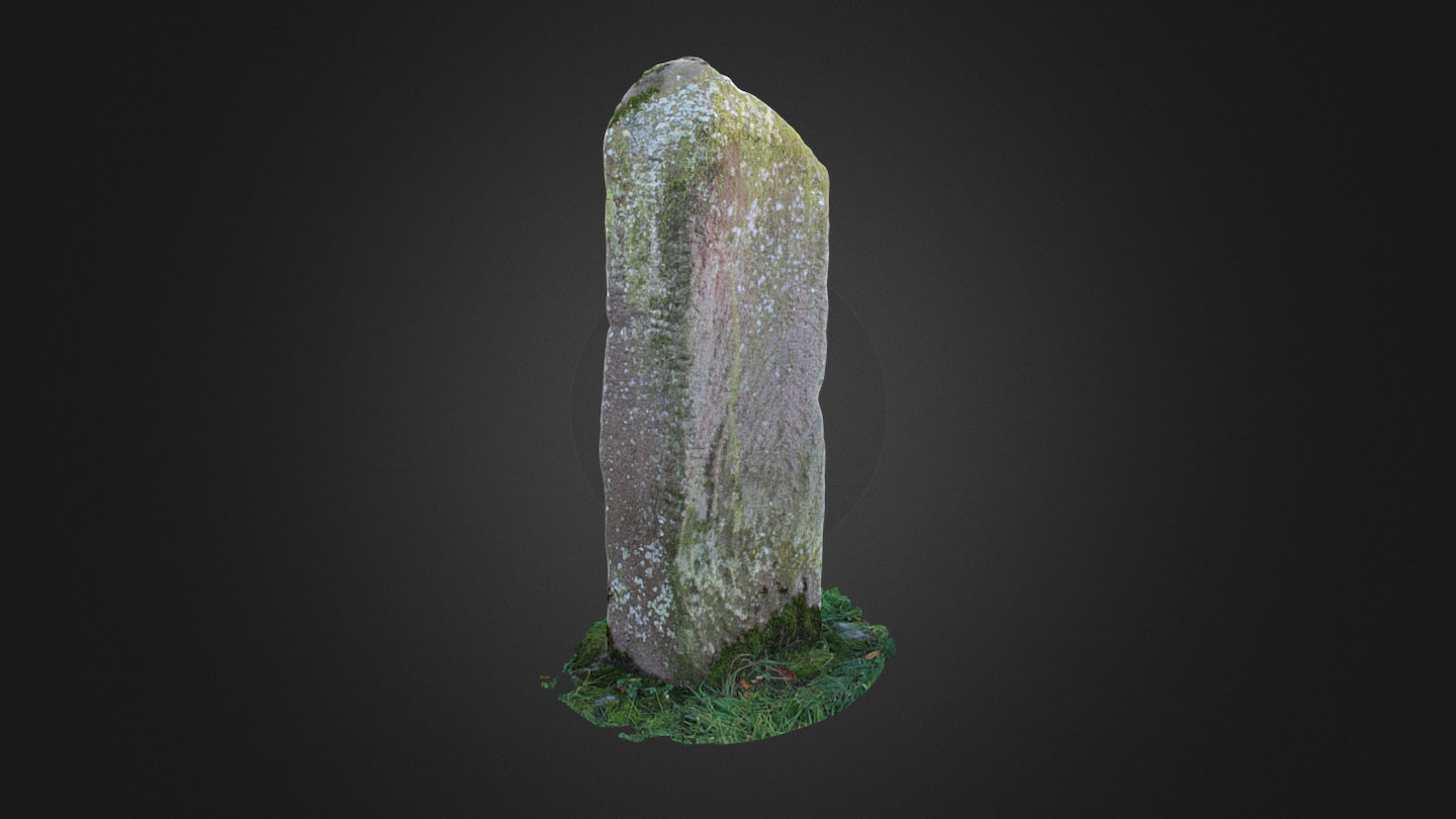 Tomb StoneMegalithic structure · 649 yd
 CastleCastle, tower house · 1033 yd
 Site of CastleCastle, unclassified · 1739 yd
 Ash IslandIslet · 1.7 mi
 Blake's IslandIslet · 1.7 mi
 Long PointHeadland · 2.5 mi
 Scalpeen RockNamed rock · 4.0 mi
 Turoe StoneHeritage attraction · 5.6 mi
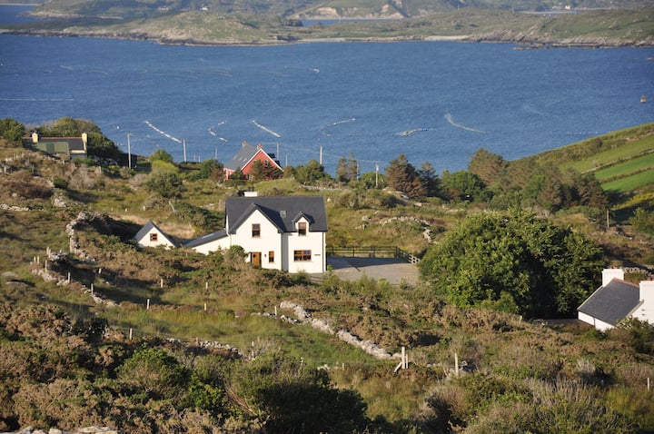 KnocknamonaMountain / peak · 7.5 mi