What is recorded here
In gently sloping pasture on the N-shore of Liscannor Bay with extensive views to E, S and W. Shown as an L-shaped graveyard wrapped around to the E, S and W of ‘Kilmacrehy Church’ (CL015-083001-) and labelled ‘Burial Gd’ on the first (1840) and ‘Graveyard’ on the Cassini (1916) edition of the OS 6-inch map. An L-shaped graveyard (dims. 52m E-W; 24m N-S) is enclosed by a mortared limestone wall. Burials marked by ledger slabs and headstones are concentrated to the S and E of the church. Two mausolea stand to the SE of the church, and a third abutts the W wall of the church porch. The graveyard has been extended to the NW, S and W.
There is a bullaun stone (CL015-083003-) within the graveyard, c. 15 W of the church. Tobermacrehy (CL015-081----), a holy well associated with Saint Mac Creiche is c. 465m to the W and ‘Mac Creehy’s Bed’ (CL015-084----), a natural outcrop of rock in Liscannor Bay with folkloric association with the saint (De Paor 1979, 95) is c. 405m to the S.
Compiled by: Gearóid Conroy and Eve Campbell
Date of upload: 8-10-2025
The monument record does not grant public access. Check the route and ask the landowner before entering private land.
- What survives
- Recorded monument
Places near here
 Kilmacreehy Ch. (in ruins)Church · 5 yd
 IndicatedFairy fort / earthen ringfort · 362 yd
 Enclosure in LaghcloonEnclosure · 510 yd
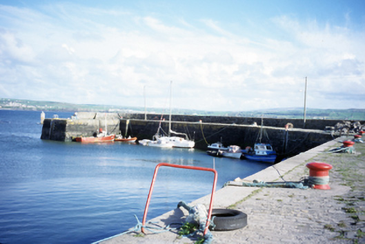 harbour/dock/portharbour/dock/port · 1072 yd
 John P. Holland CentreMuseum · 1520 yd
 Lahinch BeachBeach / strand · 1589 yd
 Liscannor Castle (in Ruins)Castle, tower house · 1688 yd
 Dough CastleRuins · 1.1 mi
 Bridget's Well;St Bridget's WellSpring · 2.0 mi
 Kilmanahn GraveyardRuins · 2.4 mi
 Famine MemorialMemorial · 2.6 mi
 Liscannor BayBay · 2.7 mi