What is recorded here
Burial Gd for Children is a children's burial ground in County Clare, Ireland, marked by an oval mound and low scarp on a gentle slope. Flat stones and boulders protrude across its surface, perhaps indicating where small lives were laid to rest beneath the grass. The place has stood beside pasture and open views for generations, holding quiet grief and tender memory in the same soil.
On a low rise of a gentle S-facing slope in pasture with reasonable views across a low-lying landscape NE-NW and overlooked by higher ground NW-NE. Depicted and named on OS historic mapping as ‘Burial Ground for Children’ (1842 and 1899) and ‘Children’s Burial Ground’ (1920). The monument consists of an oval mound (12m N-S; 14m E-W) defined by a low irregular scarp (Wth 2.8m; H 0.5m). The scarp is truncated by a later field boundary (long-axis E-W) across the N sector. The top of the mound is generally level. There are some flat stones and boulders protruding above ground level across the eastern side and occasionally in other places. These may represent low, uninscribed burial markers that were laid flat in more recent times. Other small angular and rounded boulders protrude from surface of the children’s burial ground and may be associated with it. The potential remains of a megalithic structure (CL027-024002-) and a bullaun stone (CL027-024003-) are located on top of the mound, off-centre to SE. A small depression is noted in the scarp at SW.
The following images have been uploaded:
CL027-024001-_01.jpg From S. Children’s burial ground.
CL027-024001-_02.jpg From E. Children’s burial ground.
CL027-024001-_03.jpg From SW. View across top of mound showing megalithic structure (CL027-024002-) and bullaun stone (CL027-024003-).
Compiled by: Mary Tunney, Alison McQueen and Vera Rahilly
Date of upload: 5 December 2018
The monument record does not grant public access. Check the route and ask the landowner before entering private land.
- What survives
- Recorded monument
Places near here
 Milltown Castle (in ruins)Castle, tower house · 689 yd
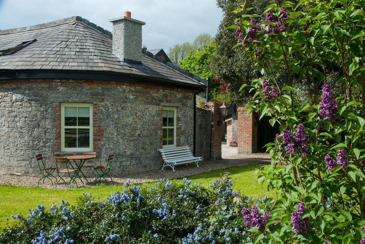 LisnagleraghFairy fort / earthen ringfort · 935 yd
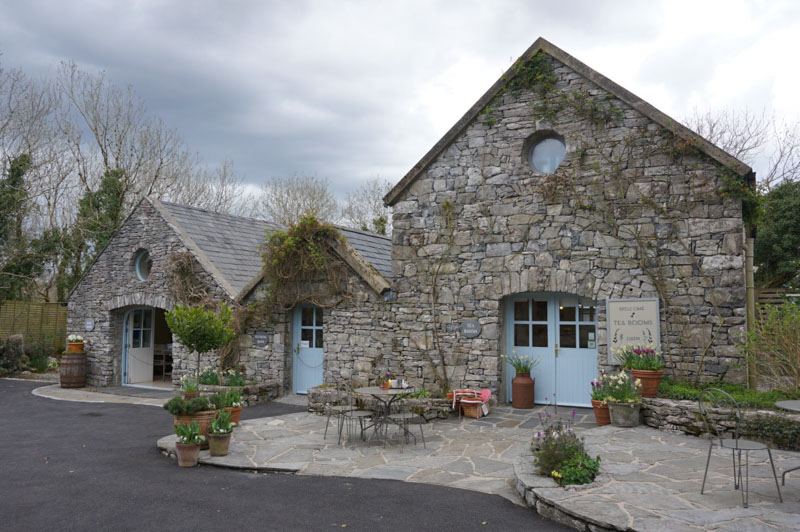 Enclosure in AffickEnclosure · 1019 yd
 Tyredagh Castle (in ruins)Castle, tower house · 1160 yd
 Scoil Náisiúnta Macaireschool · 1.3 mi
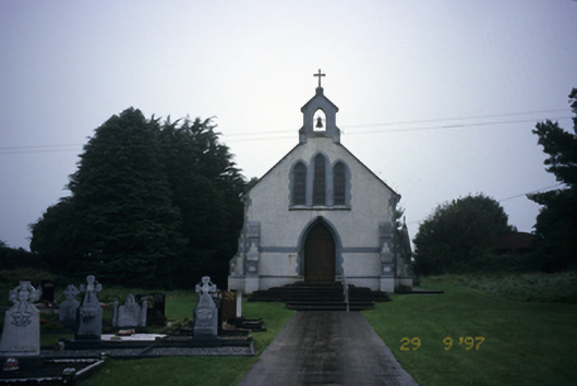 Saint Stephen's Catholic Churchchurch/chapel · 1.3 mi
 The StablesGallery · 1.7 mi
 Derrymore WoodWood · 3.3 mi
 Cloghleagh RockNamed rock · 3.4 mi
 Kilcatherine GraveyardWood · 4.6 mi
 The RingfortHeritage attraction · 4.7 mi
 Mulkere MemorialMemorial · 5.8 mi